
Hiking Dude Blog
2025 - Aug Jul
2024 2023 2022 2021 2020 2019 2018 2017 2016 2015 2014 2013 2012 2011
04/07/2012
Trail Journal
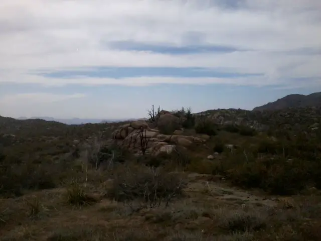 I walked 52982 steps on the trail today.
I traveled about 23 miles today.
Thanks to 10 easy miles on forest road, we reached Sycamore Creek tonight with an hour of daylight. That made it easier to set up camp, get water, and cook dinner. It's still a very short evening and I'm in my bed now before 9pm. But, since hiking starts again by 6:30 in the morning, the rest is needed.
There was some awful overgrowth on the trail yesterday and today, making it very tough going much of the time. Unfortunately, it sounds like the Matzatal Wilderness is worse and we hit it tomorrow.
If all goes well tomorrow, I should cross the 400mile mark.
Leave Comment
Posted: 04/07/2012
Posted: 04/07/2012
04/08/2012
Brrrrr - yet again
Up at 5 so we can hike early and long today. It's 27 miles to the next water so we won't get there today but we 'll get as close as we can. That means loading heavy with water now for a long, heavy hike.
Even though the elevation is low, the temp is just 28 this a.m. But, I hax my best night's rest so far.
Here we go!
Check out my current location on the map.
Remember you can click pics in these posts to see the fullsize image.
Leave Comment
Posted: 04/08/2012
Posted: 04/08/2012
04/09/2012
Unbelievable Easter
 This was the strangest Easter ever. I don't expect many of you to believe me, but I'll tell you anyway.
While hiking north of Sunflower, AZ I stopped to get some badly needed water as you can see in this picture. PapaBear was taking the photo so no one was watching our packs - bad mistake. Just as I finished filling my water bag, I heard some rustling by our packs.
I looked up and saw a flash of orange as some animal took off through the bush with my Spot tracking device. You can see the track of this date - Check out my current location on the map..
Not wanting to continue the hike without my Spot for emergencies, we took off following the tracks. This took us way off route as the map shows.
Check out the next post to find out what happened.
Leave Comment
Posted: 04/09/2012
Posted: 04/09/2012
Jackalope Attack
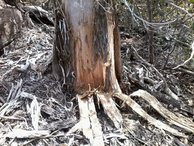 (read the previous post before this one)
While following the tracks, we noticed many trees like this one that had been clawed down.
We soon found a rancher and asked about the tracks. He let us know that they were made by the meanest, orneriest, thieving varmint in Arizona - the Jackalope. He also said they often steal Easter eggs, toys, trinkets, and tools.
Wo, we tracked him nearly 2 miles until we finally found my Spot caught on the end of a prickly thorn bush. We never did find the jackalope.
It took us another couple miles to get back to the trail and continue on our way.
If you're ever in this area, don't leave your gear unattended!
Check out my current location on the map.
Day 22? WE meet T and T
 I walked 45651 steps on the trail today.
I traveled about 14 miles today.
You may notice I took a lot of steps for the miles today. That's due to my detour after the Jackalope.
We got a nice length of smooth trail and got to a nice campsite where we met Theopholis and Theadora. We had a nice visit with them and decided to cut our day a bit short. Tomorrow will be a long, difficult day with tons of uphill and rough trail. At least we had plenty of water today.
I didn't hit the 400 mile mark today, but tomorrow will do it.
Leave Comment
Posted: 04/09/2012
Posted: 04/09/2012
Trail Journal
Leave Comment
Posted: 04/09/2012
Posted: 04/09/2012
04/10/2012
Some Pics
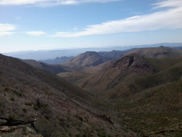 The view ahead. I'm heading into the flattopped mesa country tomorrow. The differing environments have been great to traverse.
Leave Comment
Posted: 04/10/2012
Posted: 04/10/2012
Day 24 - Mazatzal Wilderness
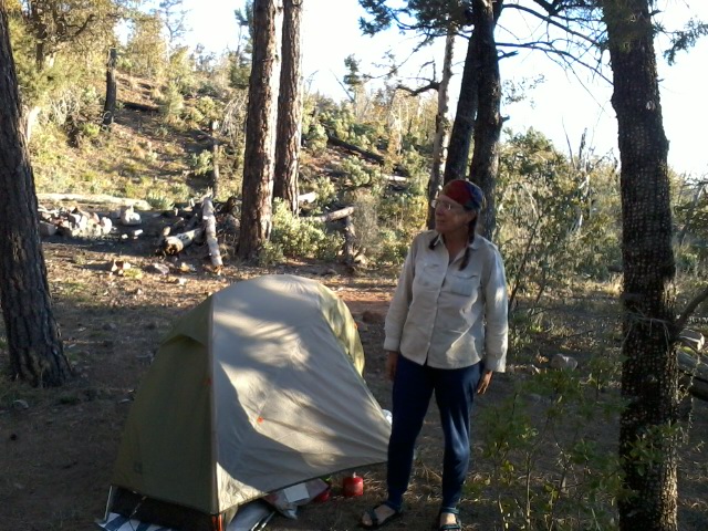 I walked 48684 steps on the trail today.
I traveled about 21 miles today.
Half Way!!
I crossed the halfway point today in miles, maps, and passages. Tthe passages are rated Easy, Moderate, and Strenuous. Of the 16 strenuous we've completed 11. Of the 13 easy we've done only 2. It looks like more of the passages ahead are 'easy' rather than 'strenuous' like we've been having.
The Mazatzal Wilderness has been awesome so far. The trail tread, slope, and grade have been great. We're at Horse Camp Seep where we ran into Fireweed. We've had a nice chat and campfire with her this evening.
It was a good day.
04/11/2012
Distant Goals
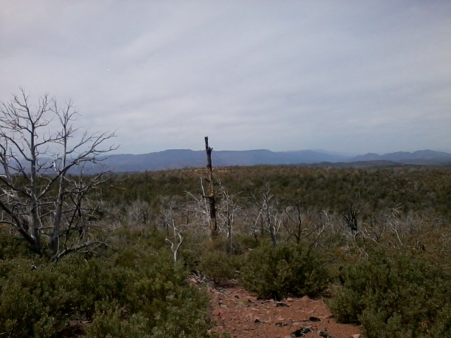 This was my first view of the San Francisco mountains way up by Flagstaff. You might be able to see the light blue peaks a bit to the left.
We're hoping to reach Flag in 8 days but just heard this morning from Fireweed that another storm with possible snow is heading in for the weekend. That might slow us down. I've figured out that you need to keep goals and plans very flexible on the trail.
Leave Comment
Posted: 04/11/2012
Posted: 04/11/2012
Day 25 - LF Ranch
 I walked 43412 steps on the trail today.
I traveled about 18 miles today.
Spending the nite camping at LF Ranch. Maryann is making us spaghetti for dinner right now and we're relaxing after a wonderful shower.
The ranch is down in the valley by the East Verde river so it should be warm tonight, but we have a long day of 'up' for 23 miles to Pine tomorrow.
The plan was to go further but I'm nearly out of food so this will get me to Pine and the grocery store.
It was a real treat to reach our stopping point by 3:30 instead of the usual 'just by sunset' time. A couple hours to wash and relax have been refreshing.
Maryann just gave us some tangelos from her dad's tree - aaaaahhhh! They were great.
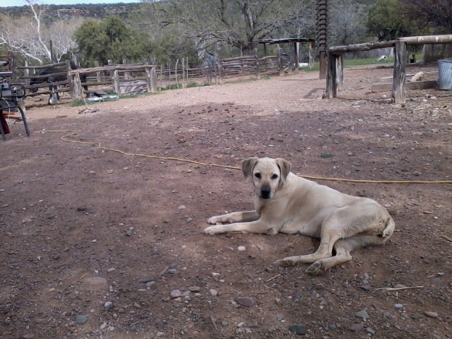
This is one of the many ranch dogs around. There are also chickens, horse, cow, and a dozen peacocks. We hear it tastes like pheasant.
Leave Comment
Posted: 04/11/2012
Posted: 04/11/2012
Older Posts Newer Posts
Find more Hiking Resources at www.HikingDude.com


Follow Me
Recent Comments