
Kekekabic Trail YoYo 2020 Journal

I've been wanting to hike the Kekekabic Trail for a long time and finally did it. I hiked with my wife for about 81 miles - from the western terminus to the eastern and back to the west to complete a Yo-Yo of the trail from October 3 to October 8, 2020.
Following is my hike report. You can click any picture to view a larger version of it. To see a track of our route, you can visit my Trail Map page. Feel free to shoot me any questions you have about our hike - your experience on the trail will certainly differ from ours, but hopefully our experience will help you enjoy your time on trail.
If you're doing research on hiking the Kek, you've probably read some older blogs about how horrendous the trail is to follow due to overgrowth and down trees. This ain't your Daddy's Kek any more. The volunteer trail workers have put in many hours sawing, hacking, and bludgeoning back the incessant growth and decay attempting to obliterate the trail - and their efforts are amazing in 2020! The trail has an obvious corridor cut out of both new forest growing in burned areas and in old pine forest. Rock cairns and bits of blue ribbon point the way when the trees fade away on ridges and hillsides.
Any hiker can successfully hike this trail now, and it was a wonderful escape to real wilderness with no distractions for a few days. On this trek, my wife joined me for her very first thru-hike, her longest backpacking trip, and her longest days of hiking. As it turns out, she also set a record as the current Fastest Known Time for a Female supported hike of the Kek!
Since the Kek is within the Boundary Waters Canoe Area Wilderness borders, permits are required to access the trail. We waited until after Oct. 1 so we could just do a free, self-issued permit at the trailhead, and all the trail crews would be done with their September work parties. During summer months, permits cost $$$ and take a bit more effort to acquire.
Day 1 - Day 2 - Day 3 - Day 4 - Day 5 - Day 6Kek Advice
Mystery Balloon
More Photos
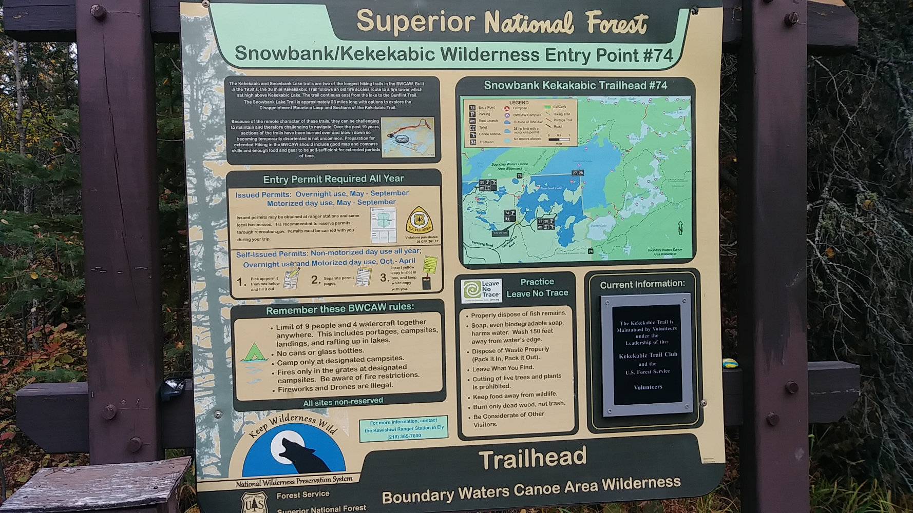
The trailhead is about 20 miles east of Ely, MN off Fernberg Road on the dirt Snowbank Lake road. Since this is about 5 hours from home, we drove up to Pehrson Lodge on Lake Vermilion the day before so we could get on trail in the morning.
The western terminus has a large parking area and this great kiosk with lots of information, regulations, guidelines, and a self-issue permit box. Don't forget to get a permit! When we arrived a bit before 10am, there were seven vehicles already here so I expected we would run into other hikers on the trail.
At 10:00am, we crossed the dirt road and headed southeast on the first steps of the Kek under blue-grey skies and on freezing toes. The forecast promised beautiful weather for the week after this first near-freezing morning. So, the best way to warm up is to hike on!
Less than a half hour late, we met the first person - a hunter hiking towards us on the trail on his way out. I asked if he had any luck and he showed off three grouse on his pack. Shortly after this, we ran into two hikers coming out. At this point, I was a bit concerned the trail might be very crowded. As it played out, these would be the only people we saw until near the end of our trek.
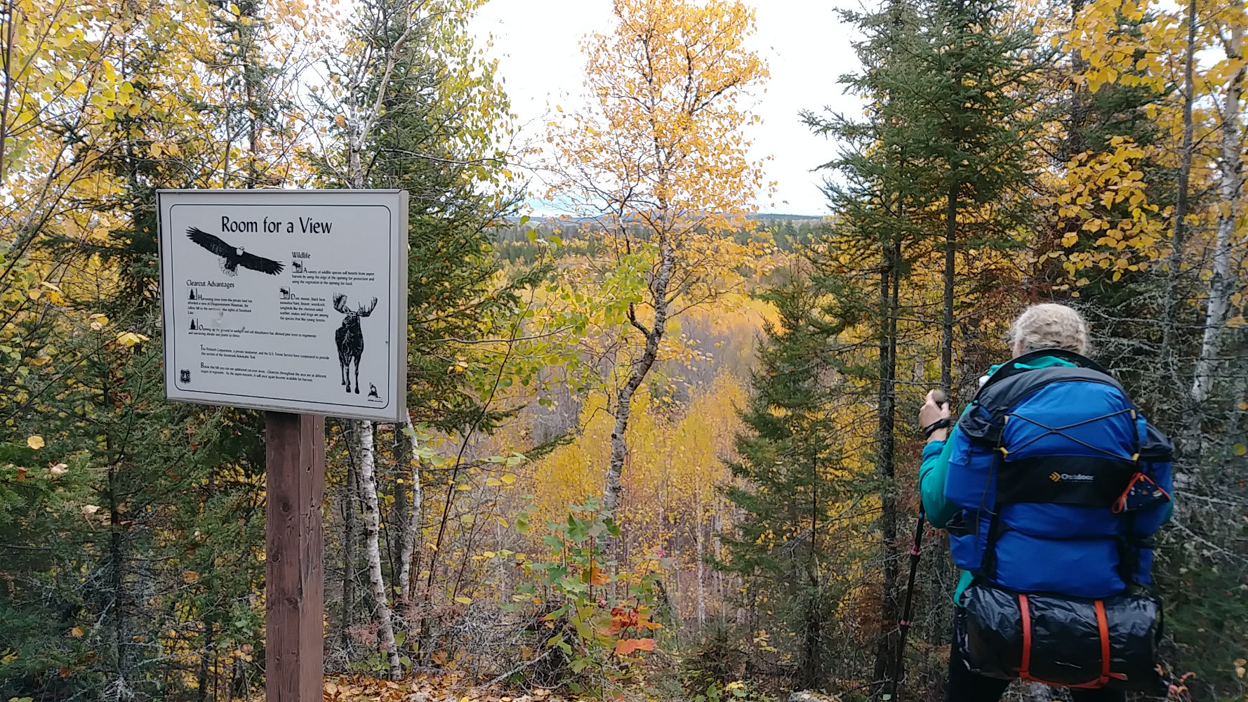
About 1.75 miles in, there is the first nice vista point, this one looking to the north over land clearcut by the Potlatch Corp. The first 2.5 miles are outside the BWCAW hence the roads, power lines, and logging.
We're in no hurry on this adventure, but when I'm on a hike, I like to be moving most of the day. So, we have a flexible schedule and can stop at whatever campsite we're close to when we feel like we're done for the day. I've made up a 6-day and a 7-day sample itineraries of the daily distances and campsites we'd use. If the trail is too tough and we're making slow progress, then we'll just change our plans and do a portion rather than the entire trail.
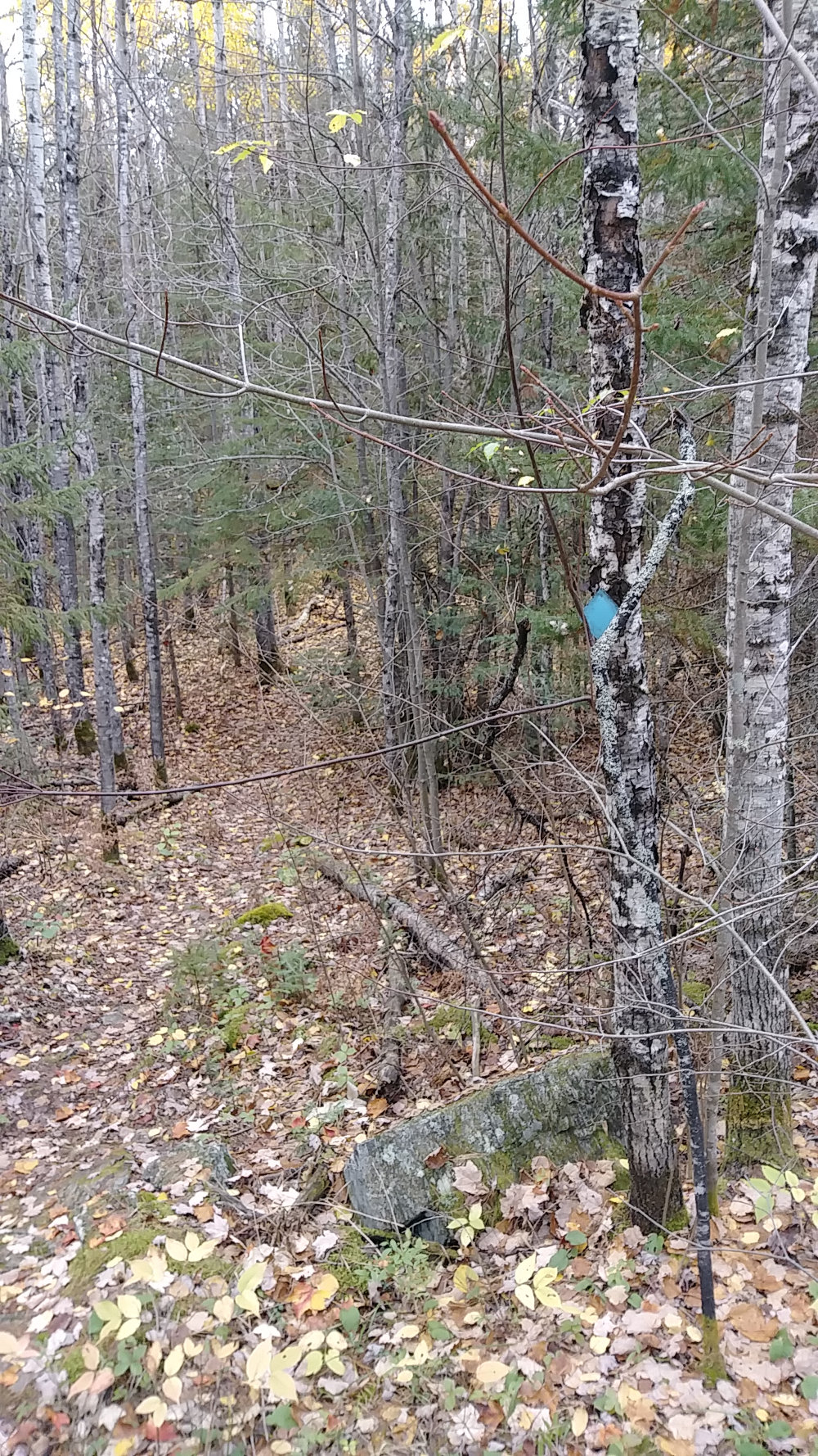
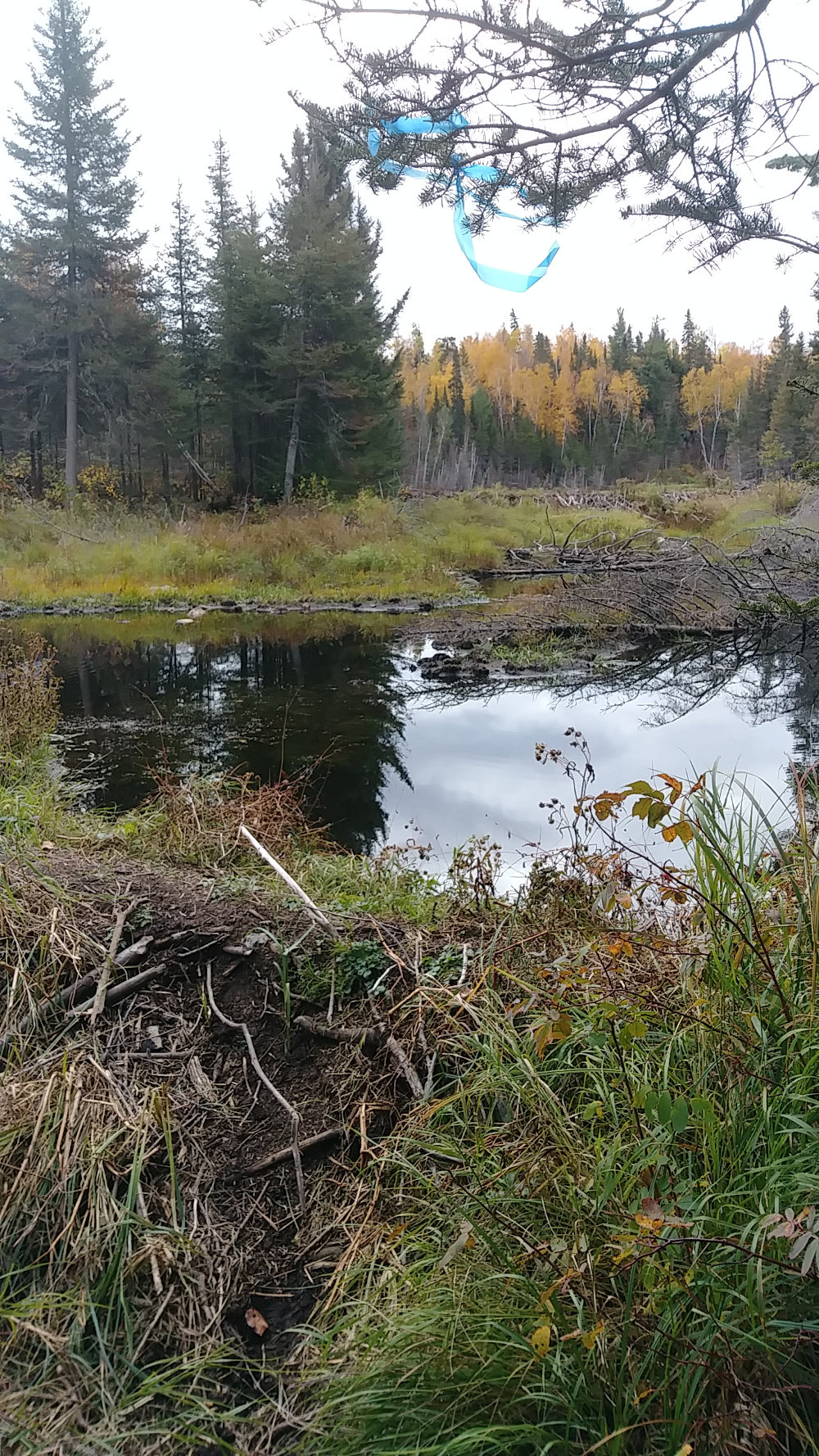
As it turns out, the trail is very easy to follow and has occasional blue markers or bits of ribbon for blazing. These are two examples of what to keep an eye out for. They are most useful at intersections with portage trails. Other than those intersections, it's very easy to know when you're on the trail - if you can take six steps without running into brush or tree, then you're on trail. The forest is thick along the vast majority of the trail.
The sky remained overcast all day as we hiked 11.3 miles to the Medas Lake campsite. The first couple miles of trail were rough and rocky with ups and downs, but never difficult to follow. After that, the trail passed through low bogs and rises, with a few beaver communities. I imagine the boggy areas could be a challenge in early summer, but the land was fairly dry this time of year.
It was only 2:15pm when we reached the Drumstick Lake campsite at 8.9 miles in which was my proposed stop for our first night. Kelly said it was too early to stop and we should keep going. Around 3:30pm, we reached the Moiyaka Lake campsite at 11.3 miles. Scoping out the site, there is a huge pine tree crashed across the area and the site faces north, so we crossed the trail and took a short spur trail to check out the Medas Lake campsite. Aaah, much better!
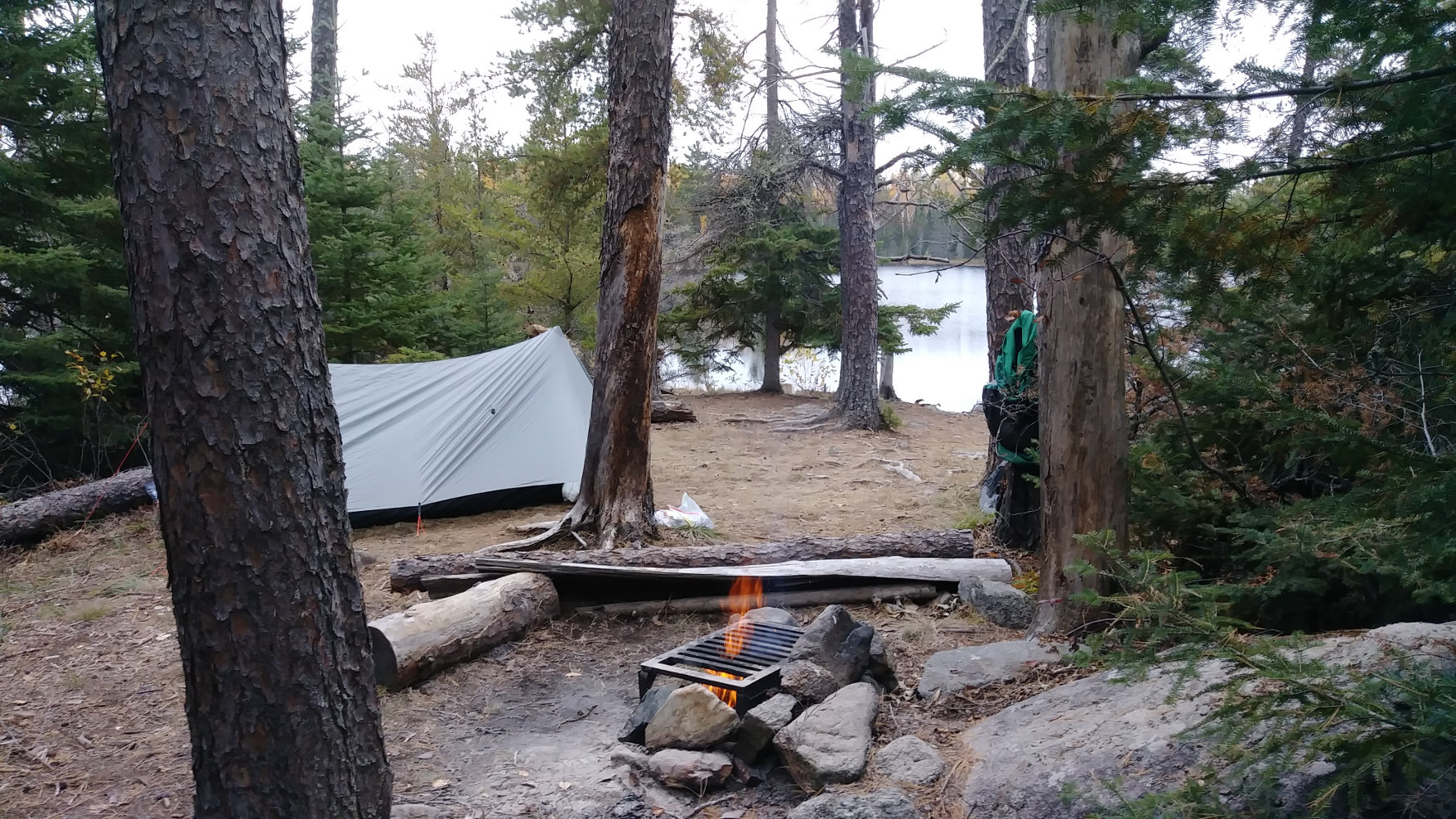
Medas Lake was very nice. Like all the BWCA campsites, it has a fire grate, open pit toilet, and tent spot. Also, unfortunately, like many of the sites, there are standing dead trees that will eventually crash down some windy day. Today was calm.
With all the daylight left, we had tons of time to filter water, cook, even have a campfire and read a bit of my book.
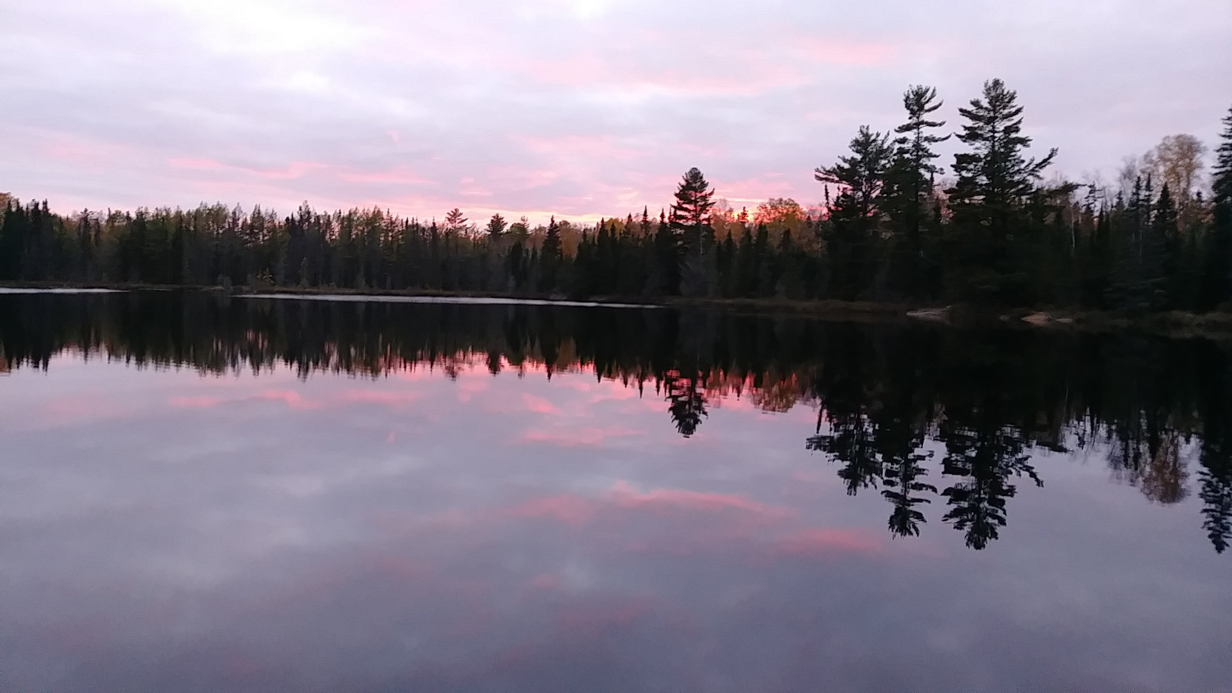
We enjoyed our first (and only) sunset of the trip over a mirror smooth lake. After dark, the surface would be shattered by beaver tails sounding off like someone throwing huge boulders into the lake. Other than that, nature was quiet and peaceful all around.
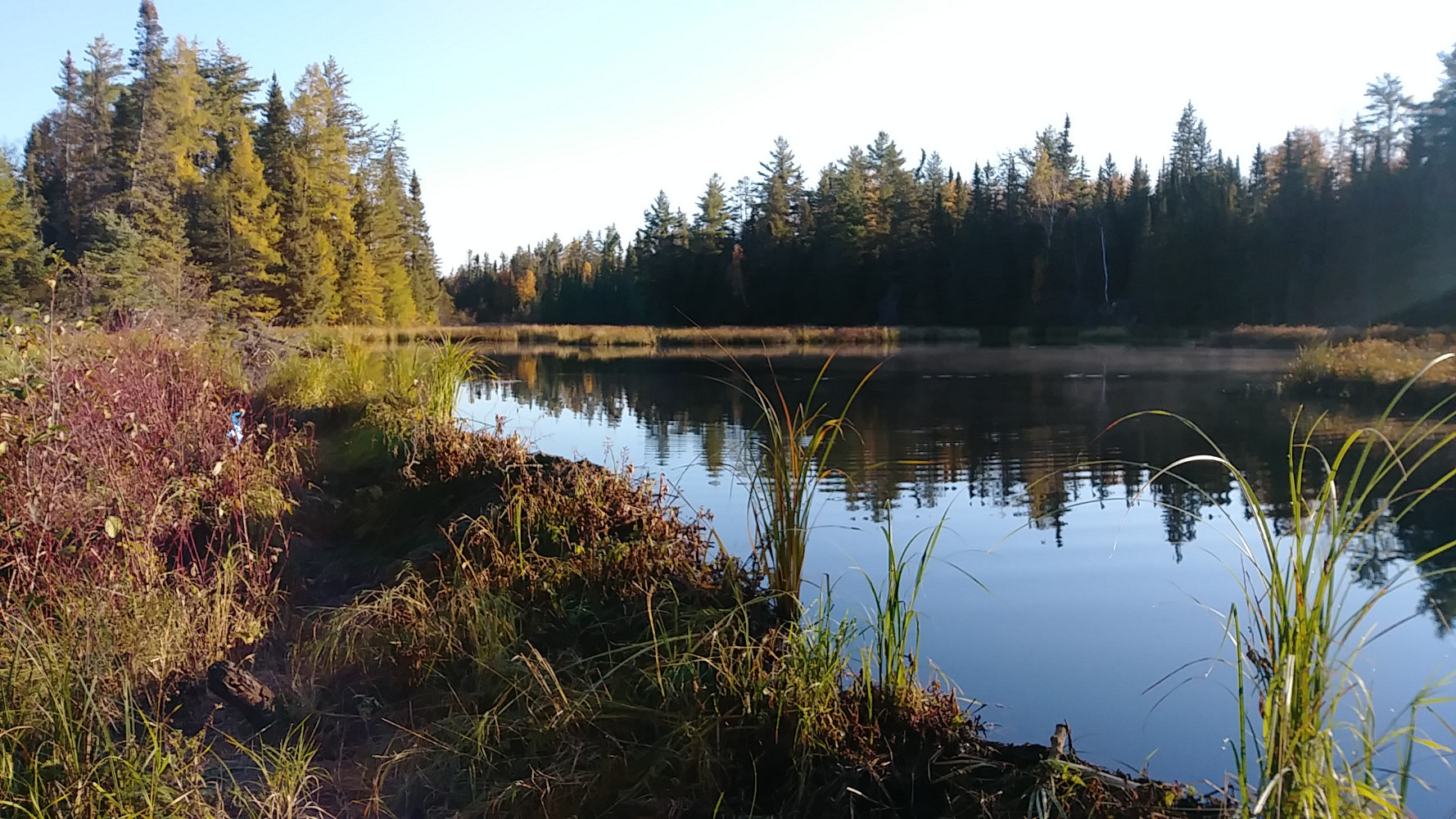
We were greeted on our second day with blue sky and a beautiful sunrise. With the shortening days, 12 hours of darkness means plenty of time to rest in the tent and me being anxious to get moving in the morning.
I heated water for Kelly's coffee and my cocoa, filled our water bottles, and packed the tent. We were on the trail at 8:20am, ready to see how far the trail would take us today.
The next seven miles are the easiest of the trail. With little elevation change, relatively smooth tread, and easy navigation, it is almost like walking through a park. Really, I was beginning to wonder why folks say the Kek is so difficult.
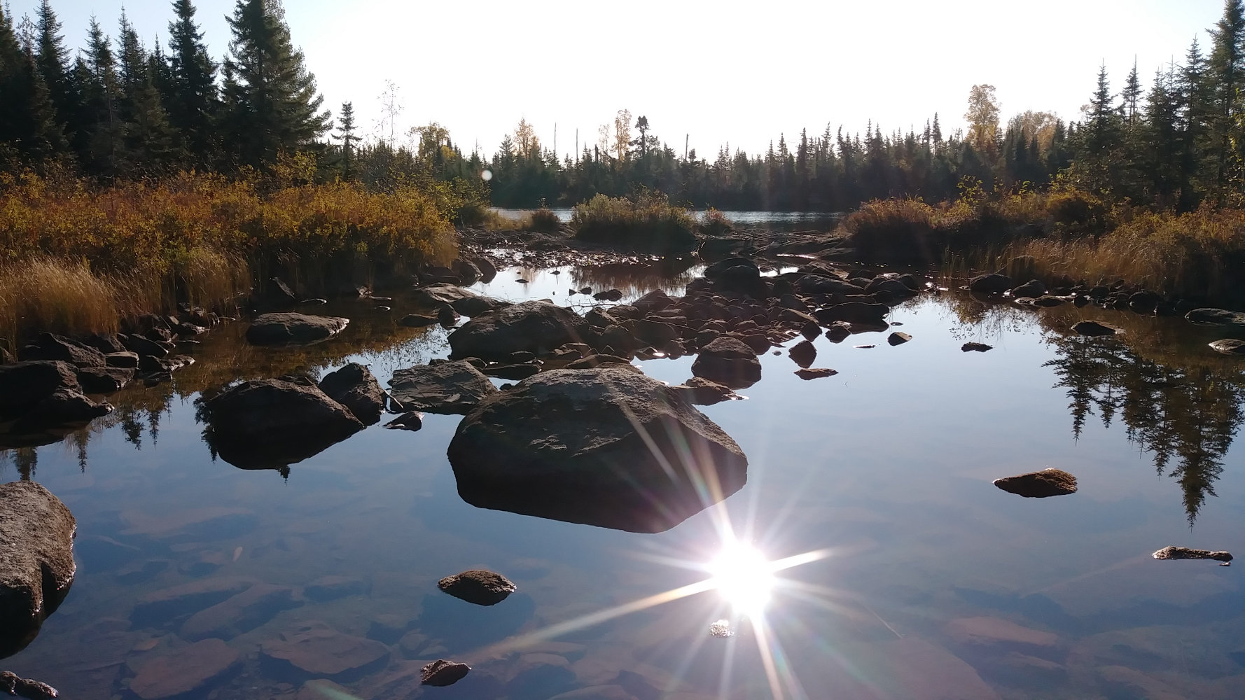
The ease or difficulty of any trail depends a lot on weather, time of year, and the year's general weather. We were very fortunate to be hiking when the summer growth was done and most weeds were down. Trail crews had just done clearing also. The weather was generally in our favor with no storms to work through. And, compared to other years, there was low water in the lakes and streams. The Kek crosses this stream draining from Thomas Lake to Hatchet Lake which was nearly dry for us - photos from past years show it as a tumbling rapids.
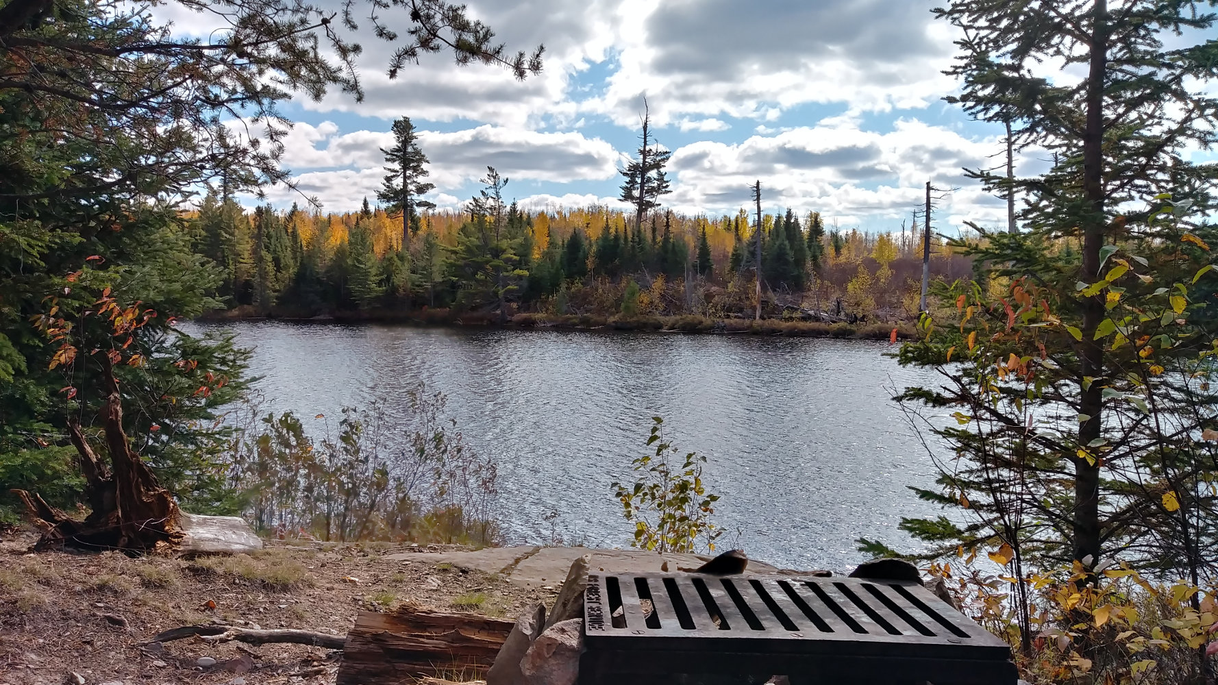
We made great time, arriving at Strup Lake before noon so we had a nice lunch at this site with a beautiful southerly view. And a very aggressive chipmunk! He obviously is used to being fed and has become a real nuisance, surrying over shoes and packs at will.
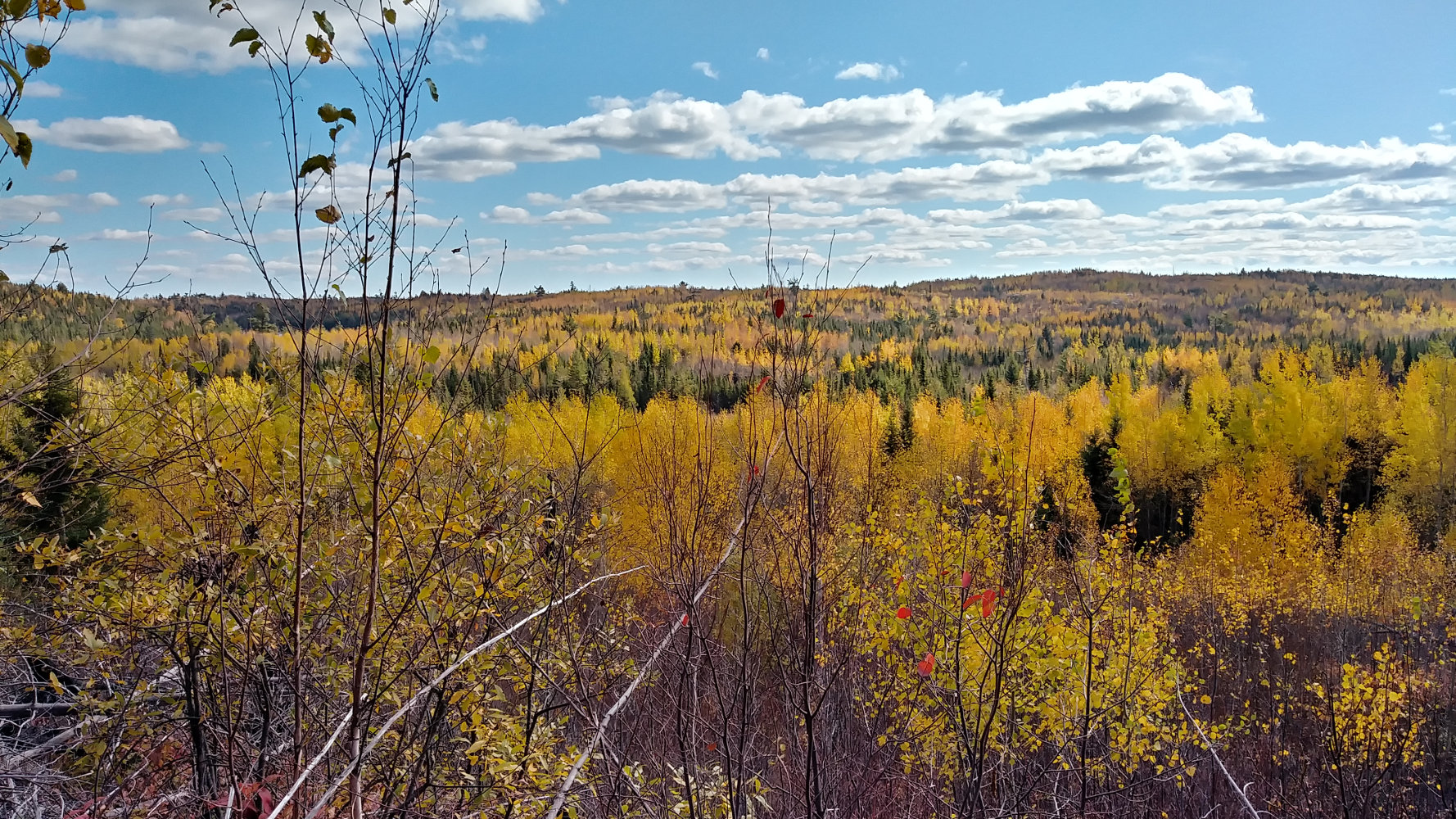
Strup Lake, at about 19 miles in, marks the beginning of the PUD section of the Kek. If you've not heard it before, PUD stands for Pointless Ups and Downs and is a rueful complaint of long distance hikers when the trail seems to go up and down every hill it can find rather than skirting them. On the Kek, the climbs are not very long but can be steep and rocky.
The next 8 miles, from around Strup Lake to Agamok Bridge, we toil up and cautiously descend dozens of hills and ridges, receiving many beautiful landscape views across the wilderness. The few red and orange maples have shed their leaves, but there are plenty of yellow and orange birch and poplar left to glitter in the breezes.
We reached the Agamok Bridge campsite by 5:30pm. 16.5 miles in 9.5 hours - 1.75mph The next site is almost 3 miles farther, this was the longest mileage day Kelly has ever hiked, the terrain has been tough the past 8 miles, and this is a beautiful spot - so we call it a day!
Another hot meal, campfire, and time spent with another habituated chipmunk or two. At least they receive no rewards from us since we're very cautious about dropping crumbs.
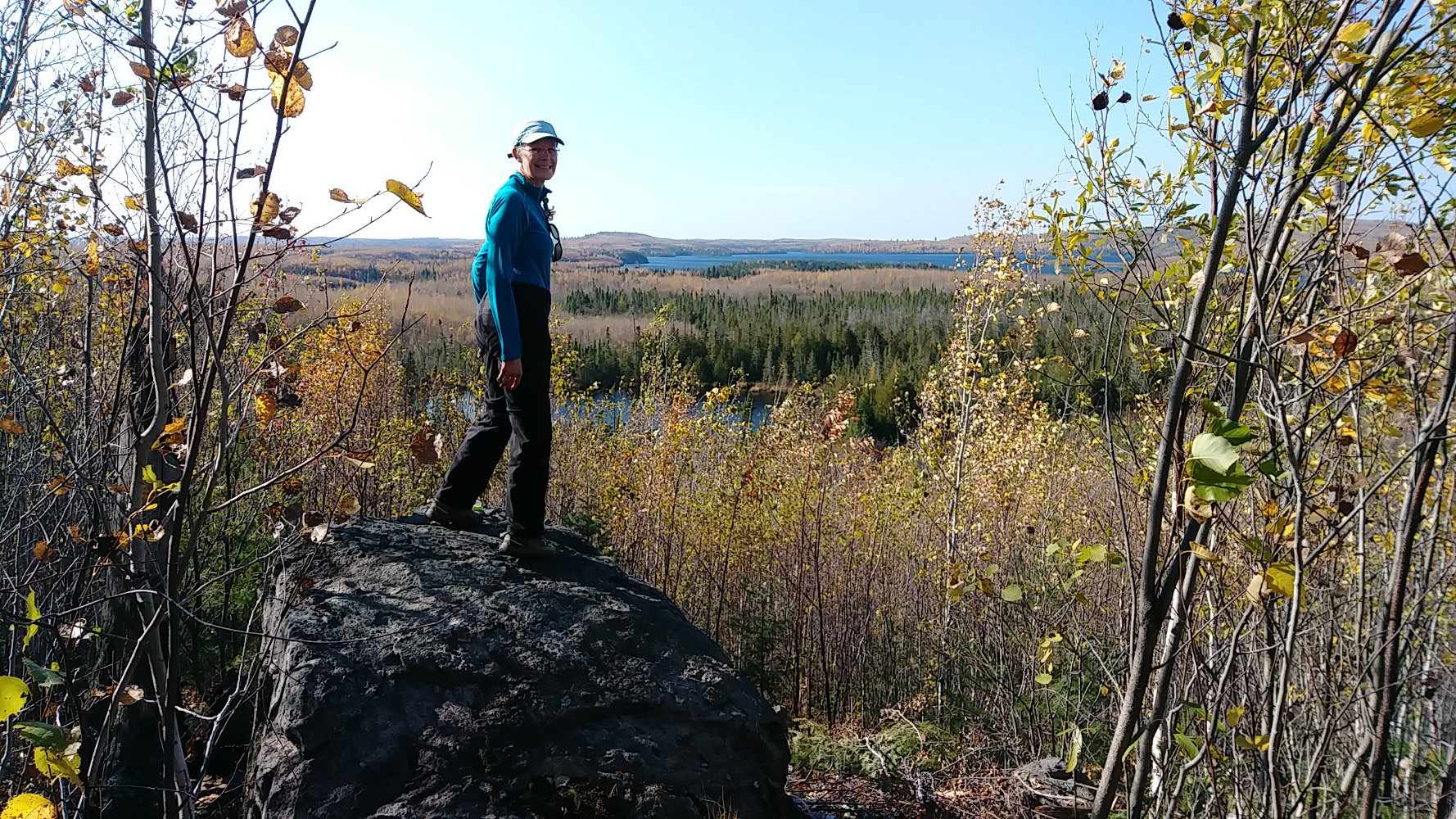
After some light rain overnight, our day started chilly and overcast. The hill country continued as we pressed on towards the Gunflint Trail and the eastern end of the Kek. Many high ridges with expansive views gave us plenty of excuses to rest at the top of hill climbs.
Just east of Gabimichigami Lake, the trail makes a nice rise to an ovelook and then relaxes for the final 10 miles. There are still hills, but mostly 50 feet or less climbs.
We hike past so many spots that cry out to have moose visit them, brushy, boggy, grassy areas that are quiet and fertile. It's a wonder that we never do see any large animals. There are plenty of tracks and scat left behind from moose and wolf, but that's all.
Our one mis-navigation event occurred when approaching Fay Lake from the west. The trail is obvious and easy and heads straight to the shore of the lake. Unfortunately, this is not the Kek and it ends right at the lake. Backtracking 50 feet, we can see where the Kek takes a greater than 90 degree abrupt turn right up the hillside with no marking and little trail wear. So, I piled a few small logs over the fake trail and put a small bit of blue ribbon on a stick - hopefully that helps and doesn't irritate a canoeist doing the portage in the future.
The last campsites before the eastern terminus are on Bingshick Lake. We weren't very impressed with the first so we continued to the second which we liked much more - but we weren't hiking backwards to the first anyway. We arrived around 2:45pm, set up our camp and then took just a small pack with necessesities to hike to the Gunflint and back.
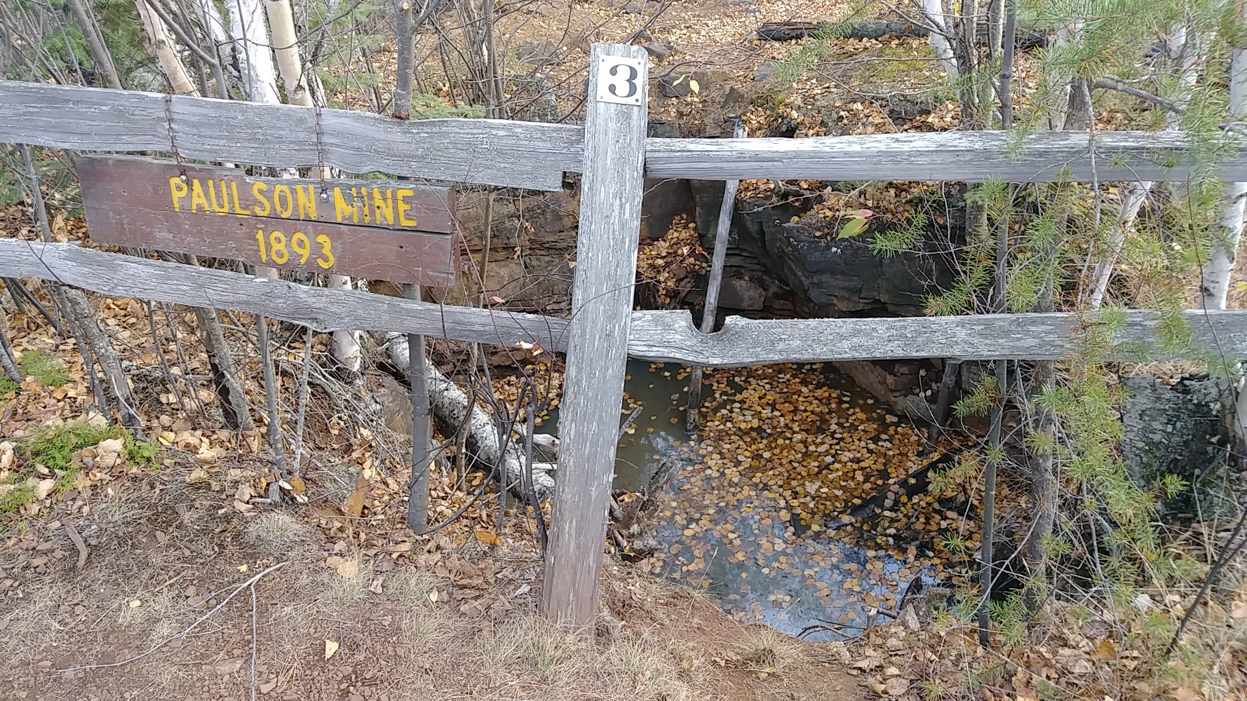
The Gunflint Trail gets a ton of recreational traffic heading north out of Grand Marais. So, it makes sense that this last couple miles of trail are developed with a nature trail style and get quite a bit of day hikers. Besides this old Paulson Mine homestead, there is a Centennial Trail and an old lookout tower site - plenty to explore for a couple hours. Just across the Gunflint Trail road, the Border Route Trail begins and includes a short hike to Magnetic Rock. But, still we see no other people since those three the first morning.
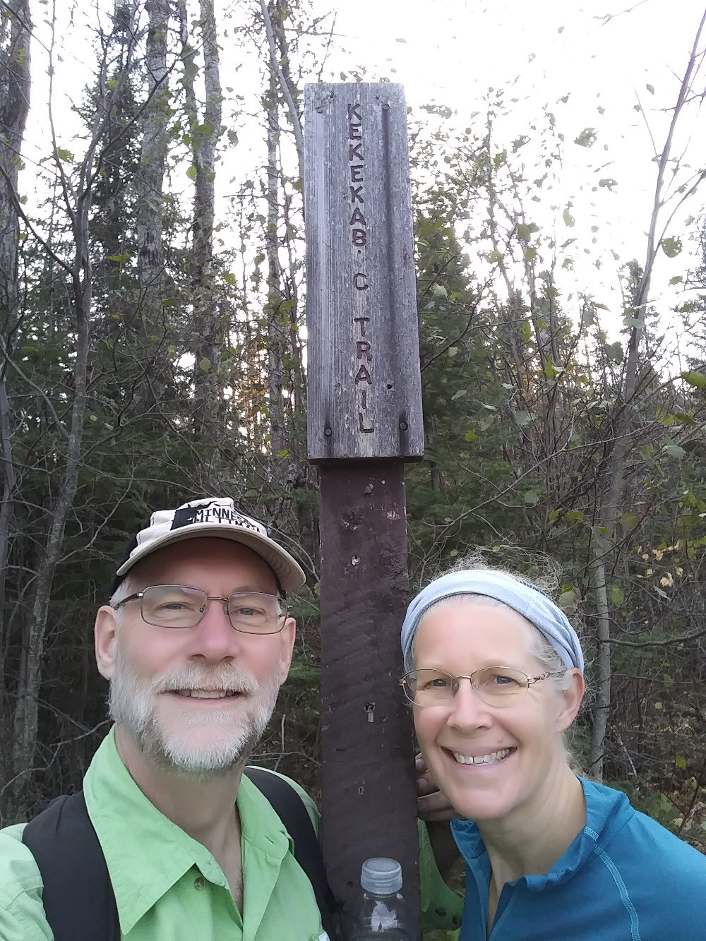
At 4:20pm, we reached the Gunflint and the eastern terminus. We didn't realize it at the time, but Kelly set the Fastest Known Time for a Female Supported on the Kek with her hike. See FKT page. Someone should be breaking the record in the next year since this was the first mark entered.
A couple cars zoomed by as we had a snack and water before beginning our trip back west. We have 3 miles to our campsite so we don't want to waste much time, but with just our essential gear and an easy trail, it shouldn't take long.
Back at camp, we were happy to have completed another 16+mile day and to have another beautiful site on a tranquil lake. Then, the rain started so we dove in the tent right after a quick dinner with no campfire tonight.
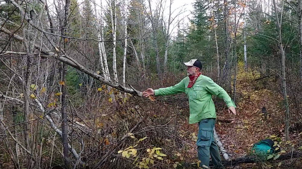
Now that we had completed the trail, all we have left to do is hike back to our vehicle 40 miles away. The Kek Chapter had asked me to do a little data gathering on my hike, and lent me a small saw so I could clear obstacles if I had time. The entire trail was so well-groomed that I found little trail work to do, but I did manage to trim back a few branches and clean up after an overzealous beaver.
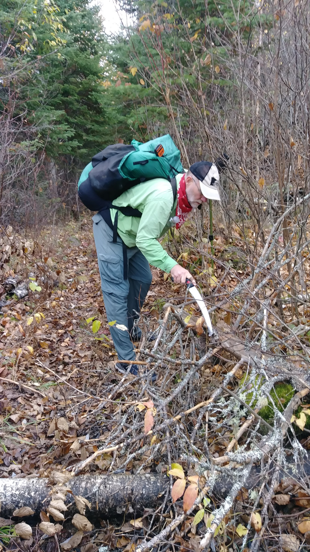
Hiking back over the same trail isn't all that exciting. We were still hoping for some animal sightings, but wound up with beaver, canada jays, squirrels, chipmunks, ravens, and a couple dozen grouse - but nothing larger. As Kelly led the way, I stopped to trim any branches that tried to poke my face. Anything below my waist I ignored since it was all 1/4 inch or smaller woody brush that a scythe would work on much better than a saw.
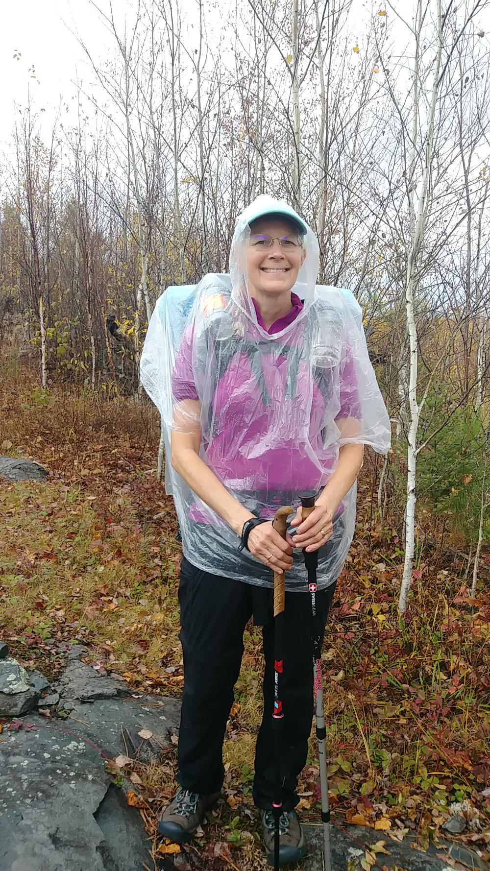
Today, the rain finally moved from night to daylight hours. Wave after wave of dark clouds blew over with blue sky between. The showers were only 10 or 15 minutes and it was fairly warm so I just let my body heat dry my shirt and pants, but Kelly opted for the stylish UL rain poncho occasionally. We hiked back through the hill country once again, and the trail was now a bit trickier with the rain making some rocks greasy.
We reached Harness Lake at 4:30pm after about 15 miles of hiking and enjoyed an hour of sporadic sun while we tried to dry socks and shoes on the rocky lake shore. The rain held off while we had dinner, but it made up for it over night as rain was continuous.
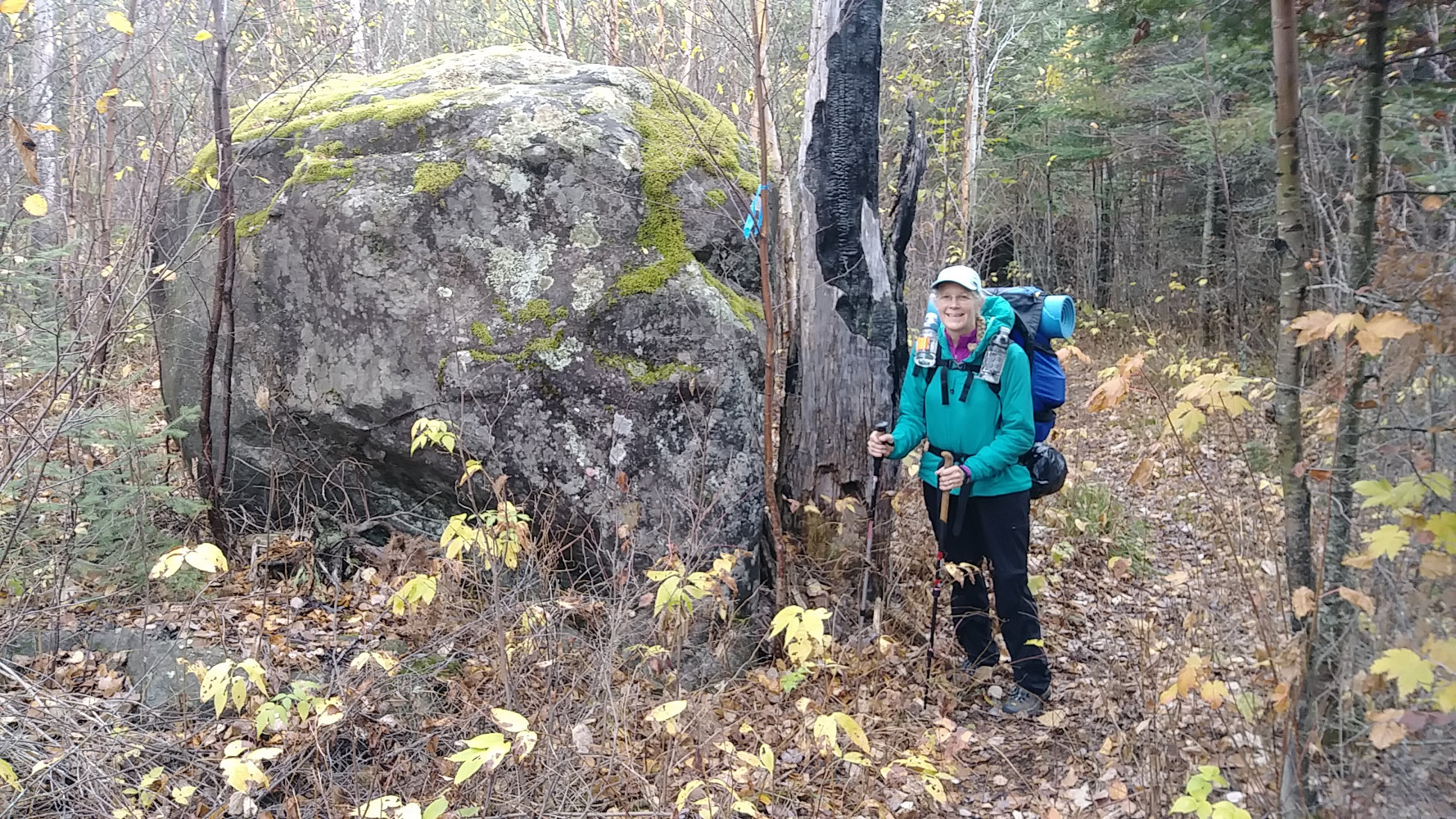
Our penultimate day on the Kek was much like the rest. We hiked 15 miles through a day alternating between rain showers and blue skies. I even put on my rain poncho once today.
While trying to decide which campsite to shoot for, Kelly could never remember Drumstick Lake. For some reason, drumstick made her think of a bone, and bone made her think of a dog bone so that is what she kept calling it - DogBone Lake. Anyway, we arrived there around 4:45pm and set up camp before the rain. I gathered some wood and stored it under a tree so we used it for a campfire after the rain stopped.
The trail was nice and easy since we left the hills and spent most of our miles on the easier western flats. Through the day, the temperature cooled and it was chilly in the early evening. But, not enough to stop the rain from making quite a few appearances through the night.
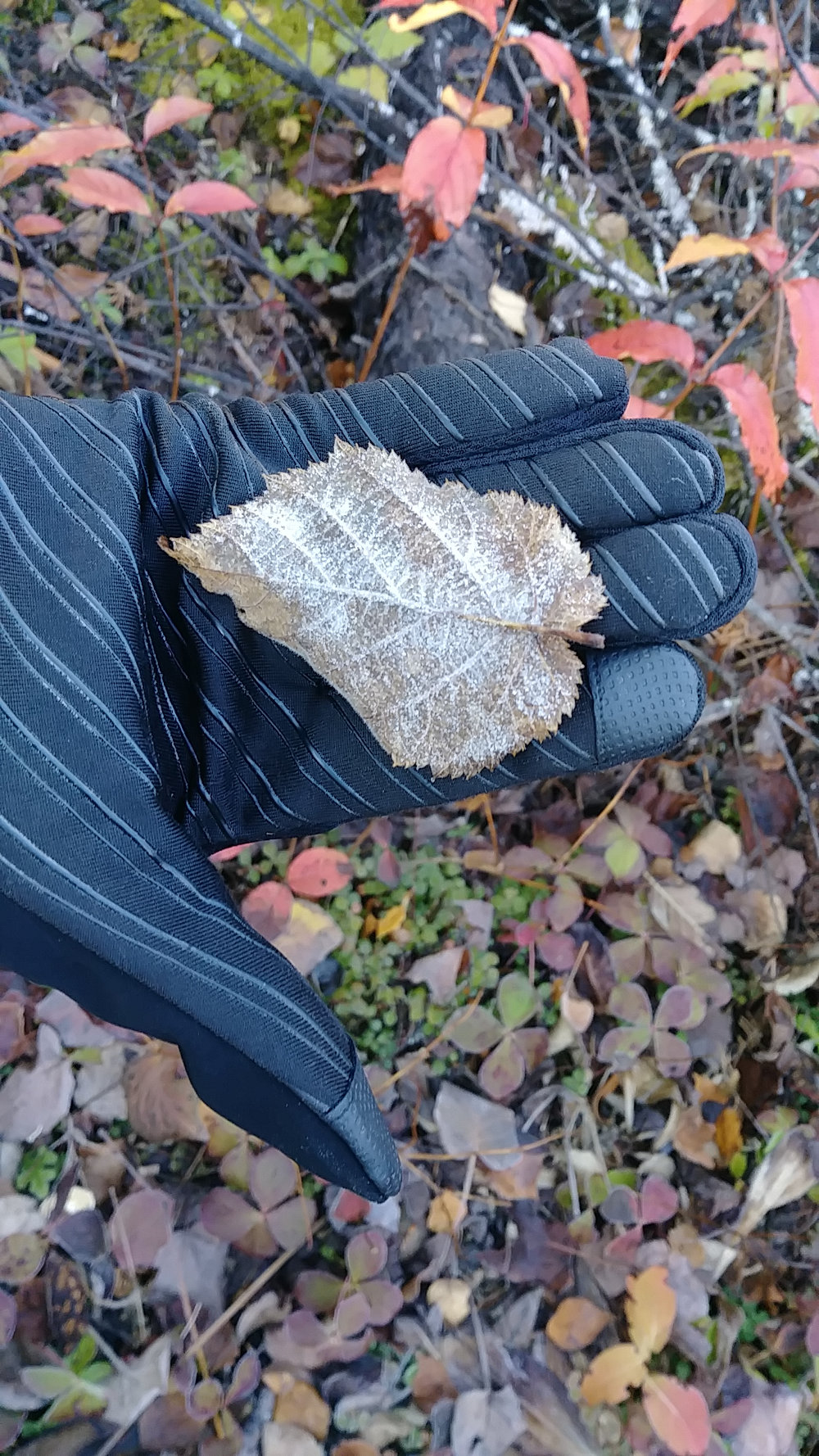
Being a little anxious to get hiking, I heated water early and we were on the trail by 8:00am. It was chilly and I didn't want to stand around when I could be warming up hiking. It did get cold over night as we found some leaves with frost on them. I expect that is because all the clouds blew out and the sky was blue from horizon to horizon. The sun was just not putting out much heat this morning.
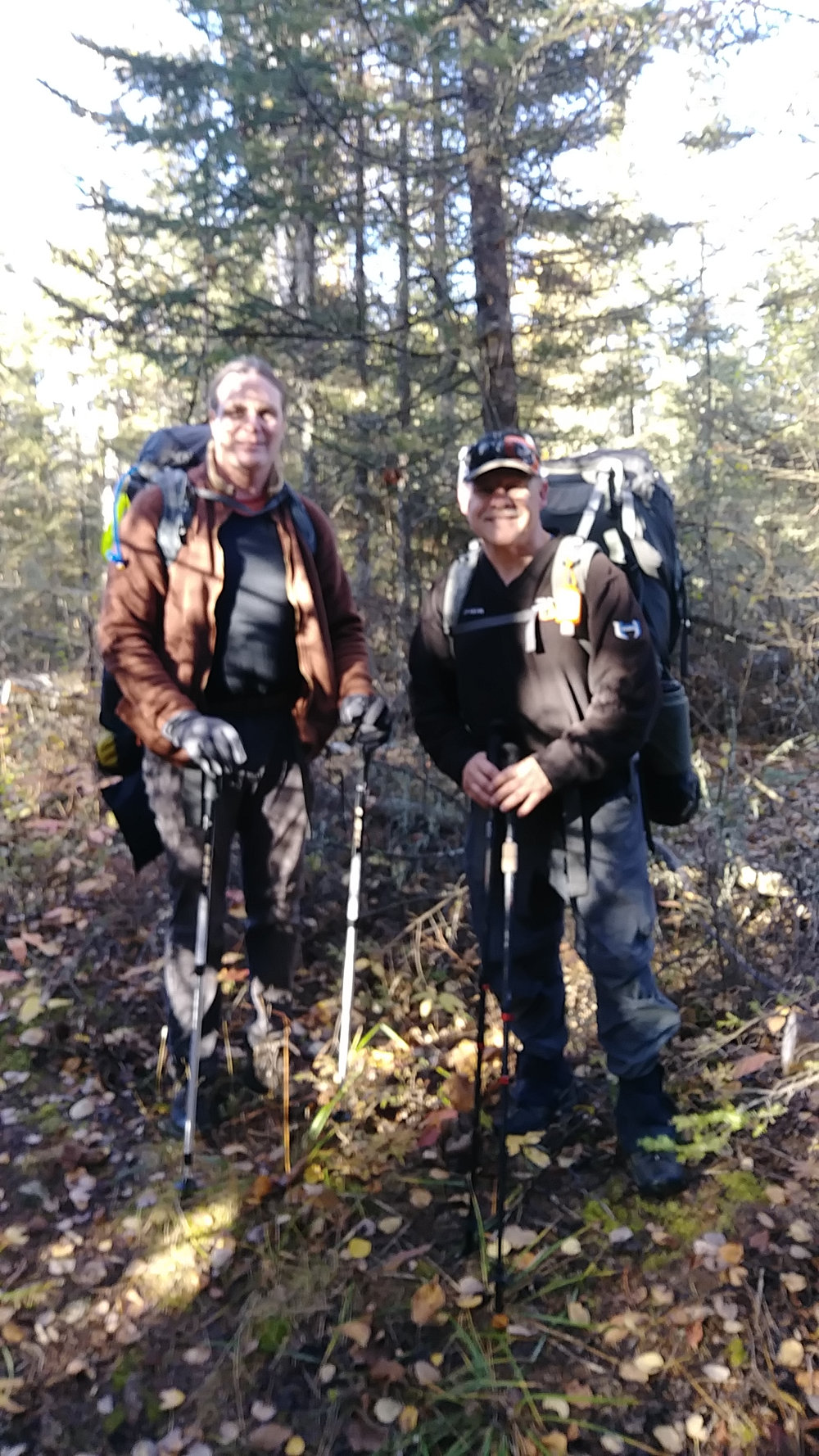
We had less than 9 miles today, and we had seen no other people, so I was surprised when two backpackers came down the trail towards us after only a couple miles of hiking. They were Kevin and Scott, on their second day doing a thru-hike to the Gunflint where their wives would pick them up. It was nice to chat for a couple minutes and let them know the trail was in great shape.
After our chat, I realized that I had not thought about pandemics, elections, or world problems for four days. A nice hike can certainly be a nice break.
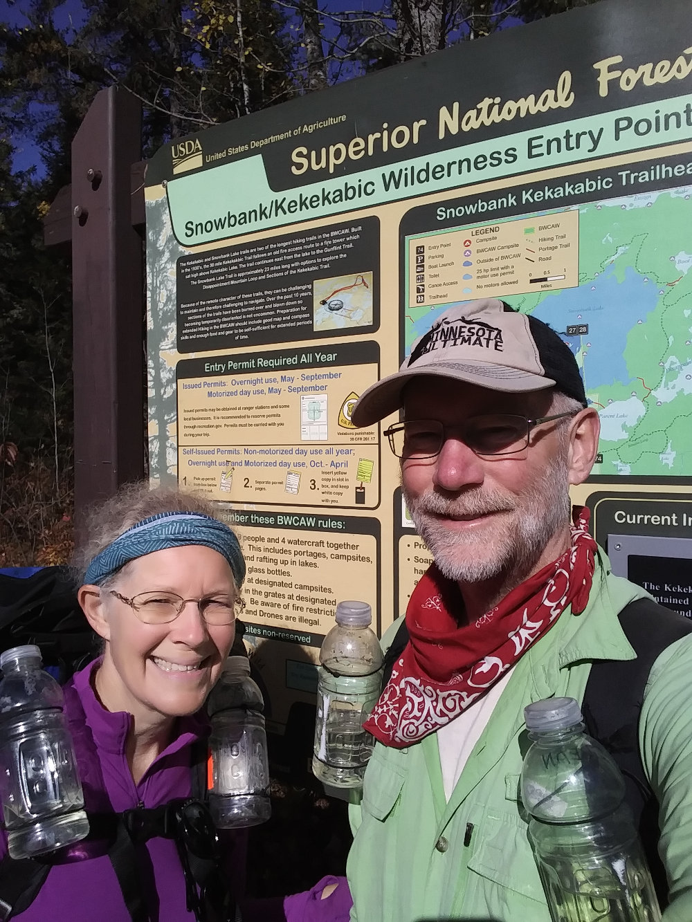
Our Kekekabic YoYo Hike was complete at 12:16pm - 5 days 2 hours 16 minutes. It had been a great adventure in the solitude of the great Minnesota northwoods wilderness.
Here's a few bits that might help in planning your Kekekabic Trail hike...
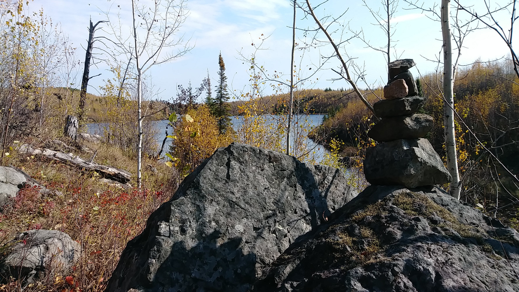 Navigation: Stay alert for blue ribbons and rock cairns. Leave the cairns alone and don't build new ones - that's for the trail association to decide. It's critical to stay aware of your general location and direction whether that is a phone app, compass, or landmarks and sun direction - whatever your skill level allows.
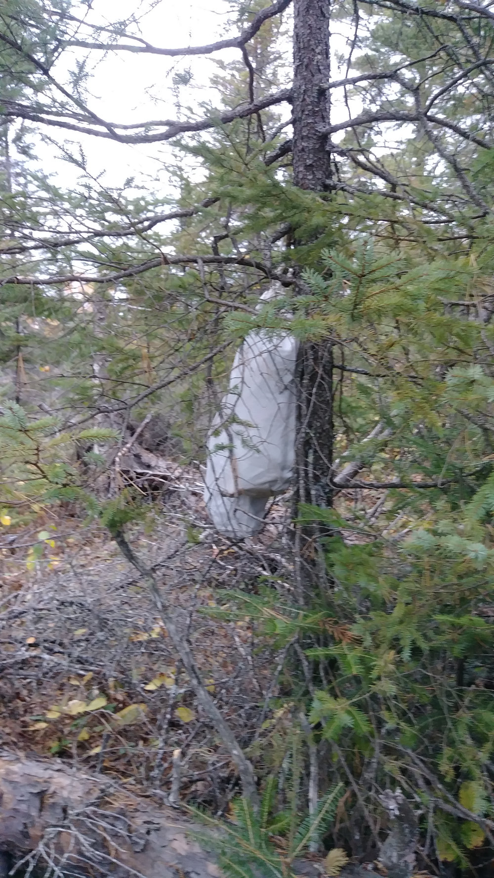 Protect your food: There are bears, but mice, chipmunks, and squirrels are a bigger problem. They can chew through packs and bags, so using a rodent-proof bag or canister is a good idea.
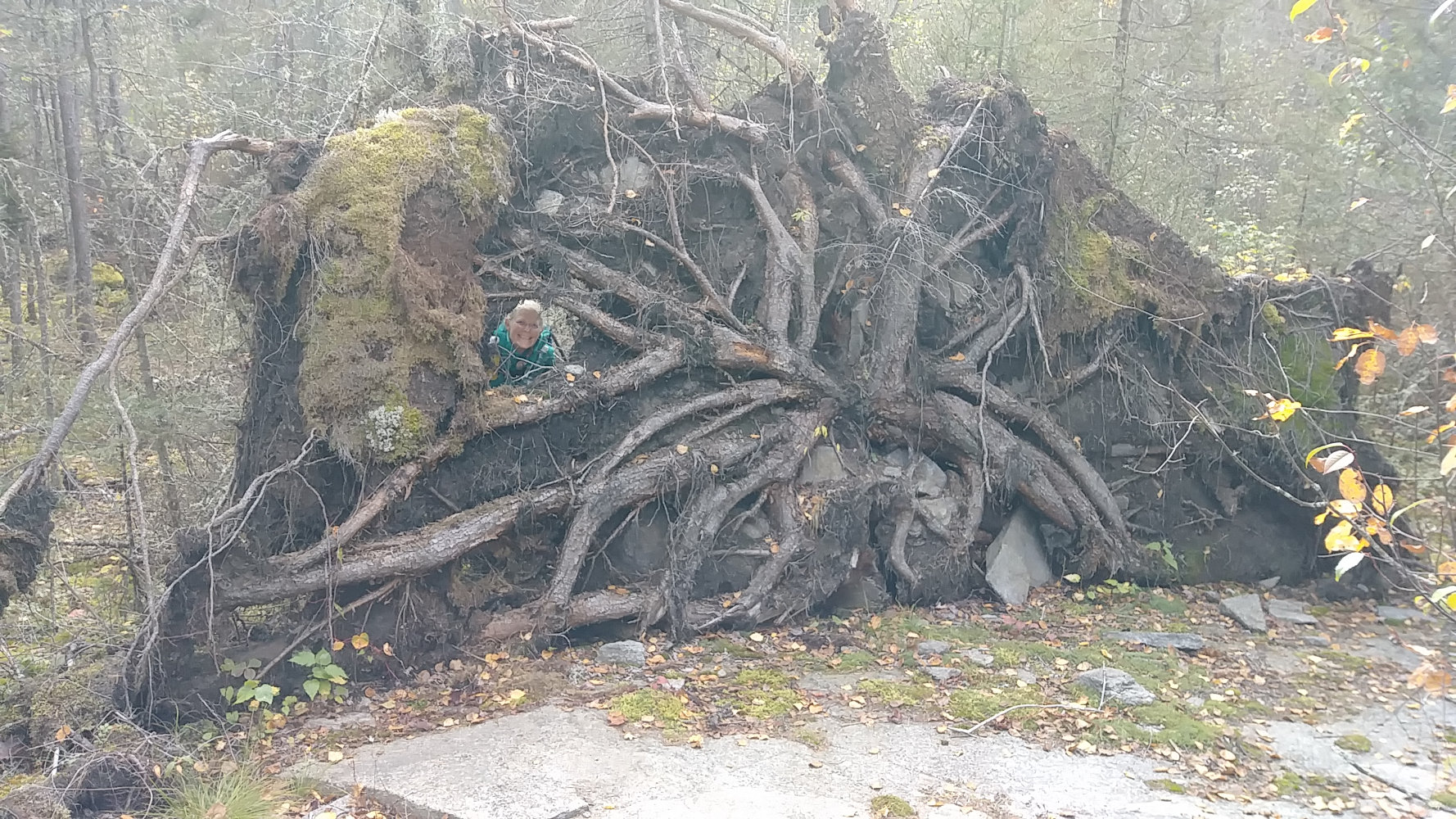 Widow Makers: There are still many standing dead trees from past fires, especially in campsites. Until these come down, be aware of them.
- Cell Coverage: Yes, coverage in the wilderness is becoming more common. I only checked a few times but did get 4G on a 1600foot ridge 6 miles from the west terminus and on high hills at the mid-point of the trail around mile 20. (T-Mobile)
- Camp Sites: Some are solid rock, so a freestanding tent works better than a tarp tent needing stakes (like mine). The campsites will be a challenge if you're used to high-traffic sites such as those on the SHT. Since these are BWCA sites, they all have a latrine and fire grate, but I found tent spots to be less than hoped for - they are not very flat, nor large, nor smooth.. I slept fine and never rolled into a lake, so I can't complain too much. Be aware that often tent sites will be down faint trails from the fire grate, and possibly even on the other side of the main Kek trail.
- Don't lean on the Agamok Bridge railings.
- Best Time to Hike: Late September has fall colors, few bugs, low humidity, cooler temperature, and lower water levels. With some weeds died off, the tread is easier to see.
- Trail Tread: There are a couple rugged miles on the west end, but then 7 or 8 miles of flat, easy trail almost like walking through a park. Around mile 18, the Hill Country starts and there are many relatively steep, but short, but rough, but fun climbs and drops for the next 12 miles. The entire trail has had a lot of TLC recently and is easy to follow. The tread is rough because not many people hike it yet. The section between Warclub Lake and Bingshick Lake had noticeably more twiggy growth about waist high encroaching on the trail and will most likely be the most overgrown in early 2021.
There are many kinds of trail that you'll encounter on the Kek...Leaf-covered...
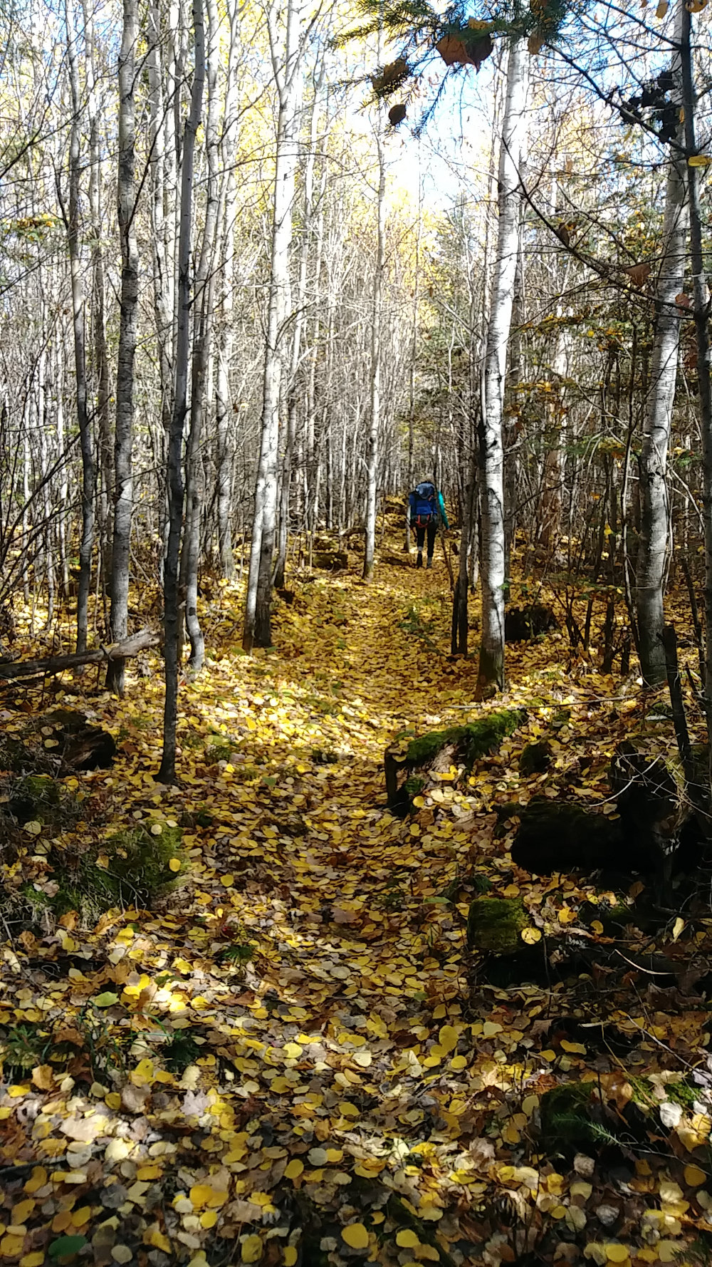
Beaver wood...
Bog...
Rocky...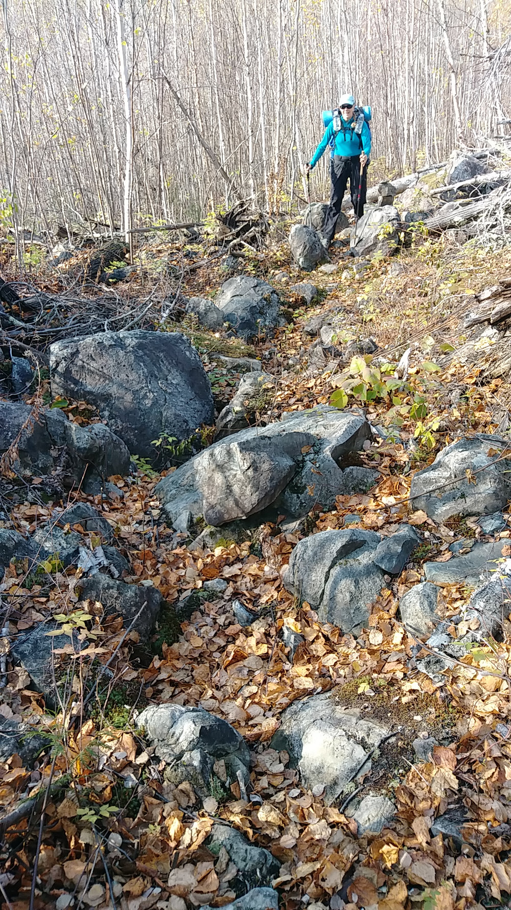
Solid rock...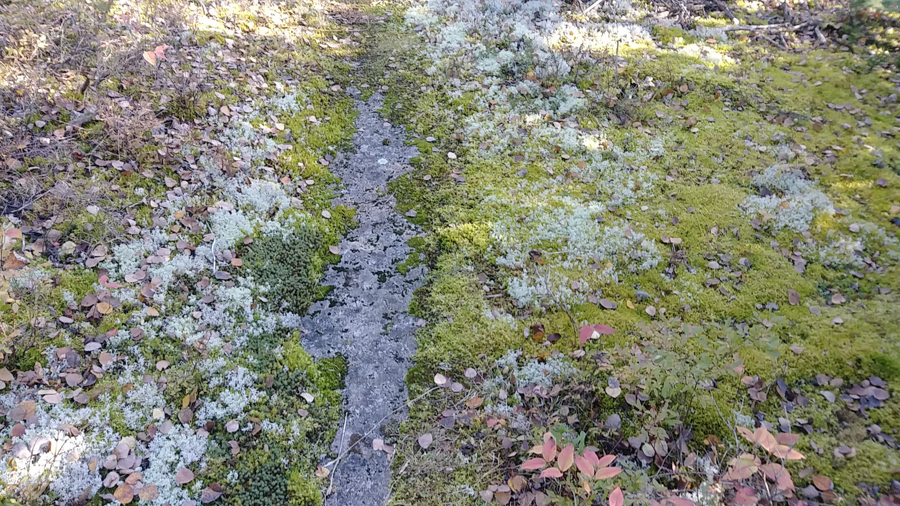
Grassy...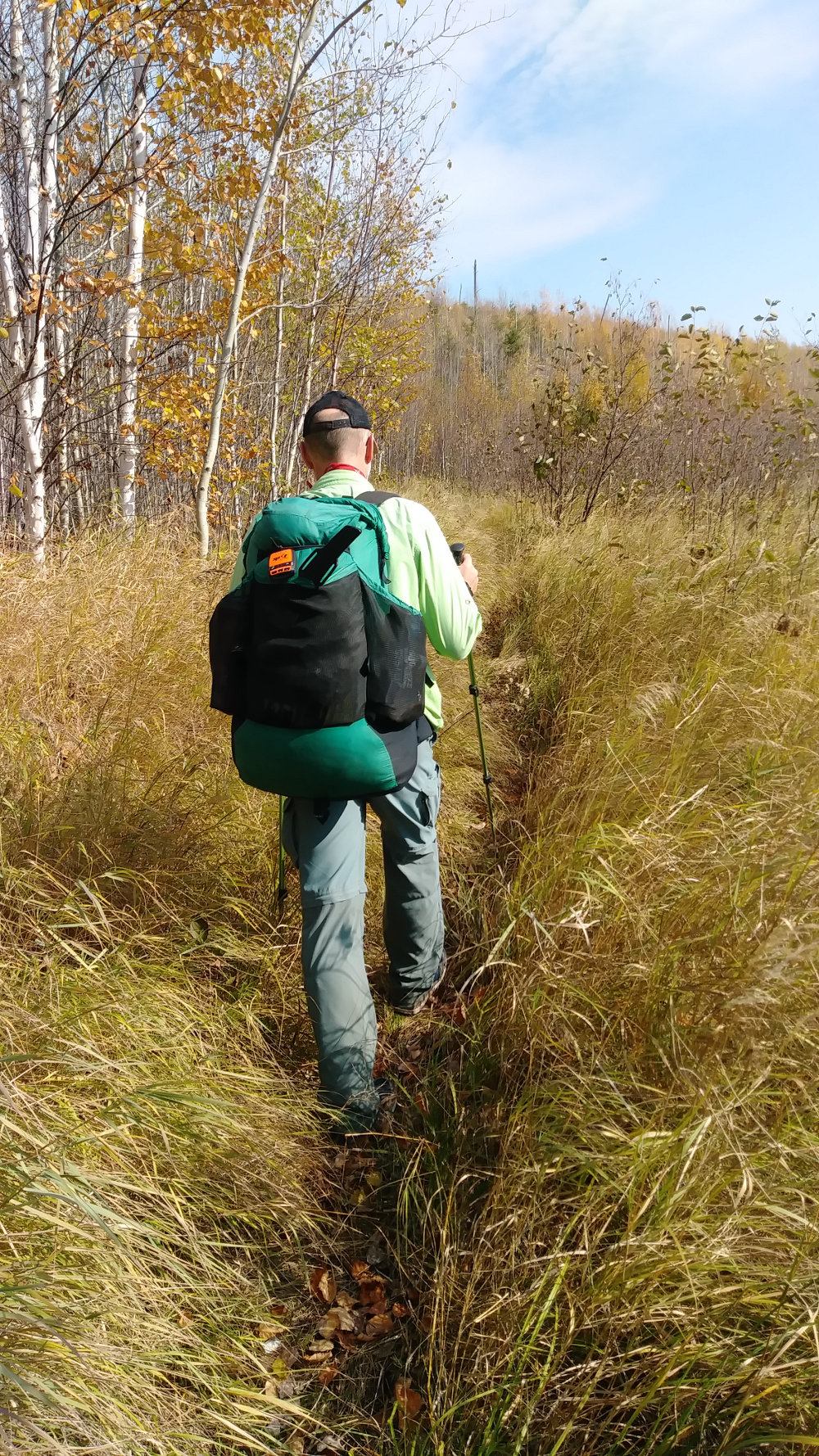
Gnarled with Blow Downs...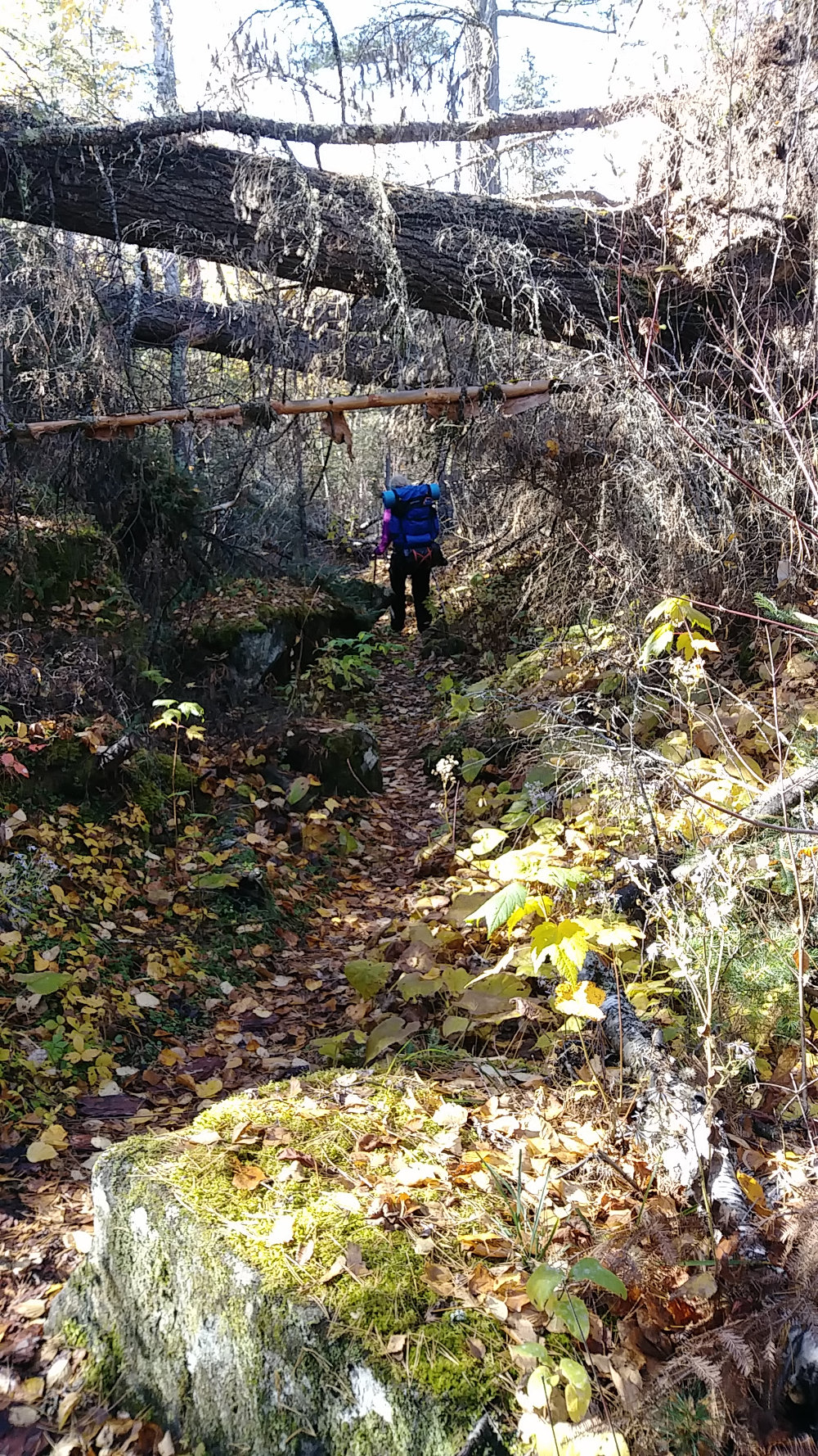
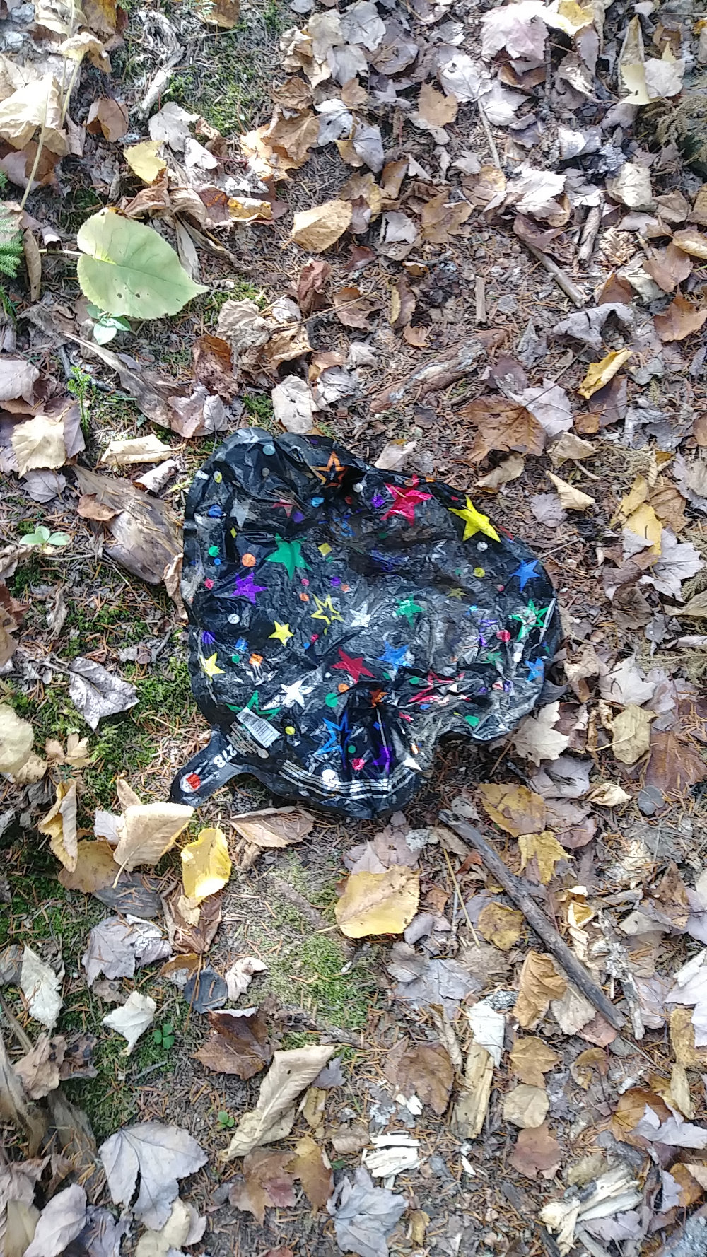
On the second day of our hike, very near the 20-mile midpoint of the trail, a chipmunk scurried across the trail and behind a large rock. As I walked by, I looked over to see if I could see him.
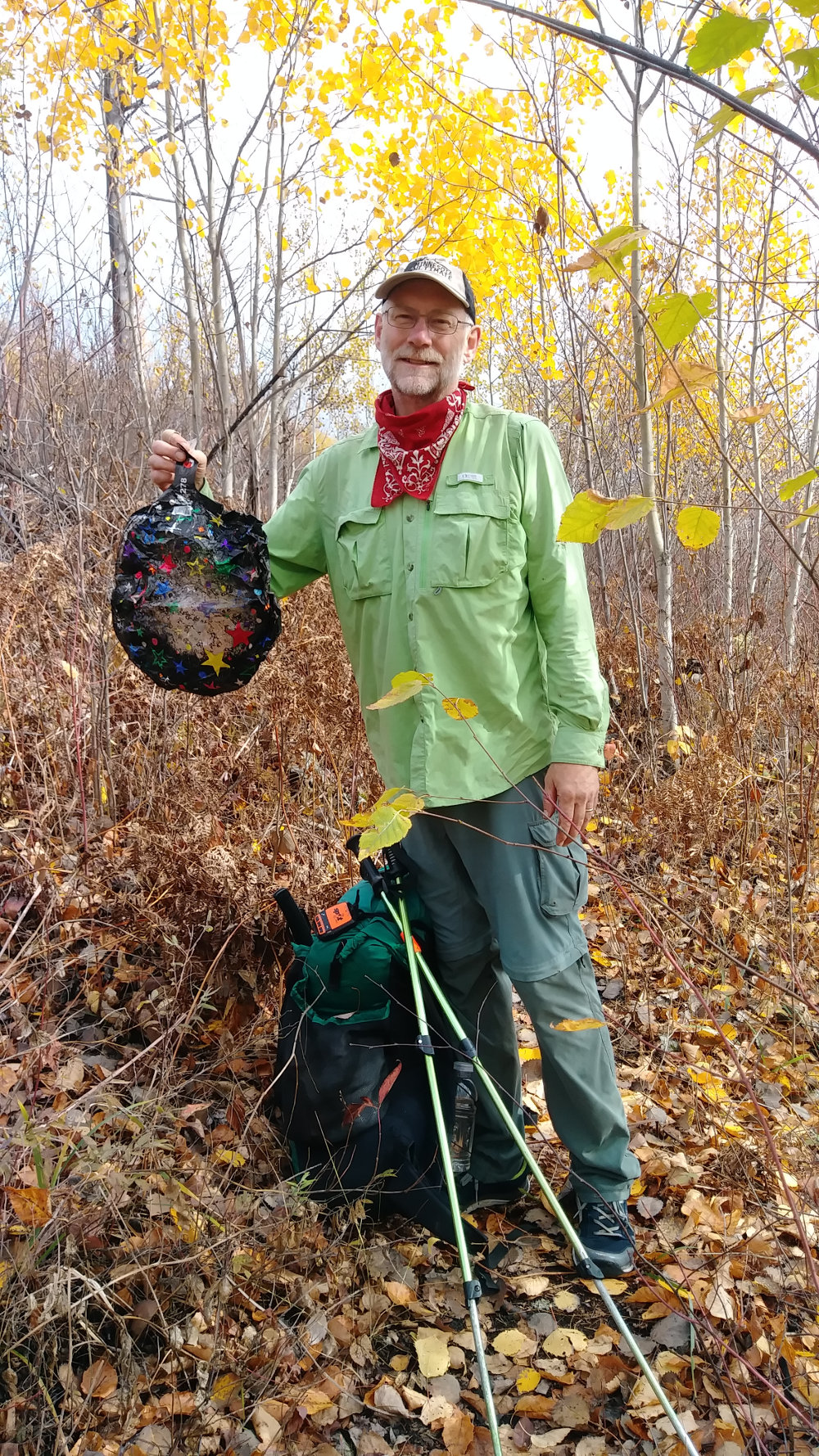
I saw this deflated mylar birthday balloon in the duff off the trail behind the rock. It was wet and mucky so, rather than carrying it out, I set it square in the path and set a large rock on top to hold it there while it dried out until I could pick it up on my way back through.
Three days later, I found the rock I had left, but the balloon was gone! It could have blown away, but it was under a rock and deflated. An animal may have been curious and hauled it away. Or, a person picked it up. Well, we had seen no other hikers coming or going, so we couldn't figure out how someone would have picked it up - but that was the only probable explanation.
About a half hour later, 1.25 miles down the trail, I was enjoying the view from the ridge through the sparce lingering yellow leafs when I noticed something along the trail. You're Right! It was the same darned balloon - over a mile from where I had left it.
Bonus Question: If you read this far, what do you think happened? Leave a comment if you have an idea. Nothing is too far-fetched at this point.
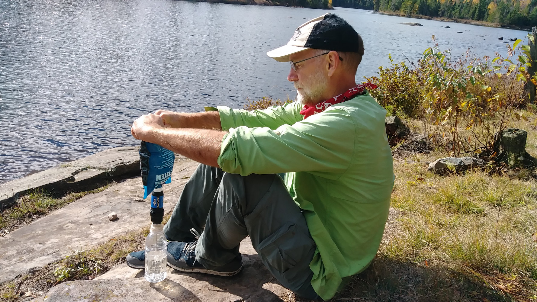
Our Sawyer Squeeze water filter worked great. I use an old zip-loc baggie to get water from lakes and then filter right into our water bottles that we carry on our shoulder straps.
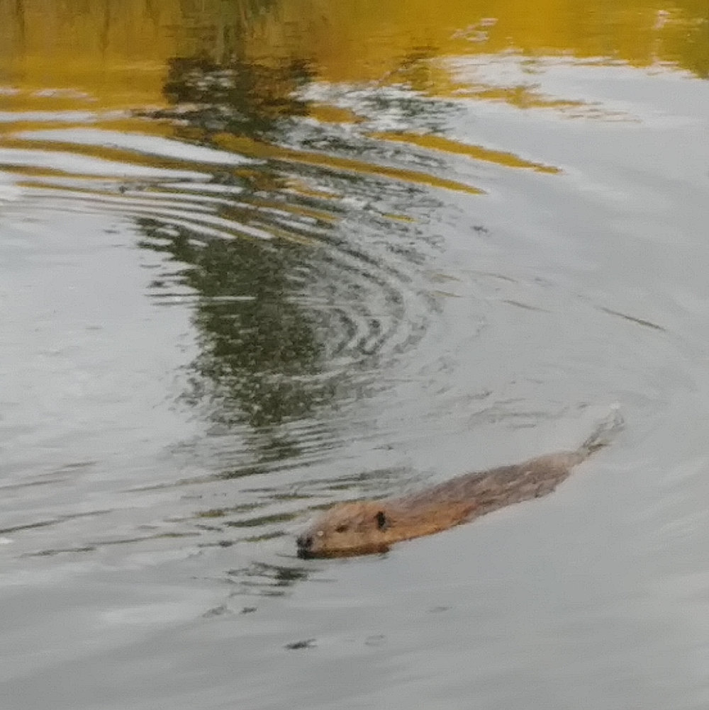
We saw a half dozen beaver. Almost all were before 10am, and they didn't seem too concerned with us. They were a fun part of the hike, for sure.
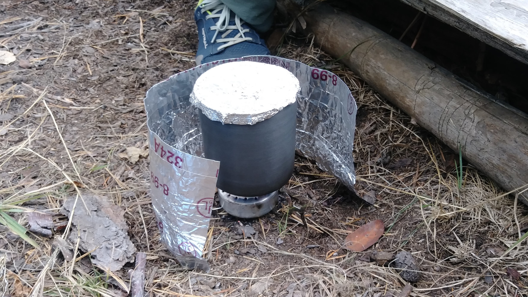
We just used a simple alcohol stove for boiling water. Very light and easy for two people.
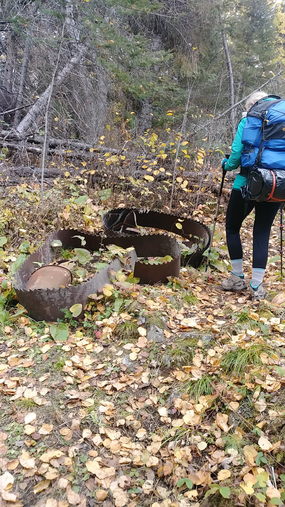
Just a pic of the Drumstick Lake saw blade because everyone takes a photo of it.
All Comments:
Oct 11, 2020 - Mary Beth Berg
I'm ready for the yoyo next time.
Oct 12, 2020 - Pam Wright
Ask a Question
Find more Hiking Resources at www.HikingDude.com


Follow Me
Recent Comments