
West Highland Way 2024 Journal
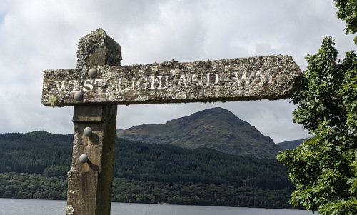
(Click for Larger View)
Go to main West Highland Way Hiking Info page.
Our big hiking adventure plan for 2024 was to hike three trails in Europe - Kungsleden in Sweden, West Highland Way in Scotland, and the Tour du Mont Blanc in France, Italy, and Switzerland. We planned to hike the Kungsleden first for a number of reasons - the far north would be warmer in August, the crowds of hikers on the TMB would thin out later in September, and our food supplies would work better. Since we would be in the wilderness on the Kungsleden, we took enough dried meals for the entire hike. The other two trails would have much more civilization in which to buy food, so we wouldn't need to carry much.
Our plans completely changed halfway through and we hiked the Fishermen's Trail in Portugal instead of the TMB.
The West Highland Way was a wonderful ramble across the western hills and valleys of Scotland, but the weather was pretty miserable. Still, we had a great hike, met fun people, and experienced a new part of the world.
To see a track of our route, you can visit my Trail Map page. I'd be happy to take any questions you have about this long hike - hopefully this info will help you prepare for your trek which will be much different from ours.

August 21-23 - I'll tell you what - hiking is a lot easier than traveling!
After hiking on the Kungsleden in Sweden, we had a few days between hikes to travel to the next trailhead, explore a few cities, and most importantly rest up. We accomplished all that, but figuring out public transport, coordinating departure, arrival, check-in, and checkout times, and fixing places for improvement in my previous planning upped the stress level. Luckily, Kelly is calm under that kind of pressure and everything worked out fine.
August 21 - While staying a day in Kiruna, Sweden, we took a bus to a Sami outdoor museum to pet reindeer and learn about the local indigenous population. Sad that it seems to have many similarities to American and Australian (and I imagine many more places) indigenous history stories.
We enjoyed a nice lunch of reindeer stew, and moose/pork sausage stew.
We walked through the oldest church in Lappland.
We walked down the road to the famous Ice Hotel with no ice this time of year so there was not much to see.
A highlight was meeting three boys (about 10 yrs old) walking home from school, tearing apart a math workbook. One of them was a real chatter box and spoke great English. He said it was his old book and he's getting his next one tomorrow. They told us that they go fishing and the types of fish they catch.
When we got back to Kiruna, we borrowed two old clunker bikes from the Yellowhouse hostel and rode to an ATM to get cash to pay for our stay. Then, we bought some food for a light dinner at a grocery store.
August 22 - We had a short, early plane to Stockholm and stayed at a hotel near the airport because we have a very early flight in the morning. We took a train into Stockholm. We toured the Sweden National Museum and explored for the afternoon. Kelly bought a new pair of hiking boots to replace hers that were worn along some seams and not keeping her feet as dry as desired. The forecast for our West Highland Way hike is many days of rain.
August 23 - We hopped on an early plane to Edinburgh and explored all day. A big 'Fringe' event was going on so it was very crowded. We toured the Scotland National Museum and the new parliament building. I loved the old architecture and buildings reminding me of Harry Potter, Mary Poppins, and 101 Dalmatians. We stayed at Airbnb home of a young Lithuanian man which was nice and quiet.
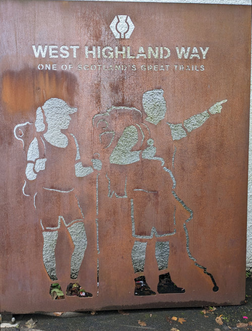
We took advantage of public buses and trains to get from Edinburgh to a suburb of Glasgow called Milngavie (pronounced Mill Guy) to find the start of the West Highland Way. Many backpacks got off the train and started up the trail after all the selfies at the trailhead, but we had a quick subway sandwich lunch and then started walking north a bit before noon. It was a very busy trail for the first 4 miles closer to town with hikers, runners, and bikers, but it soon thinned out.
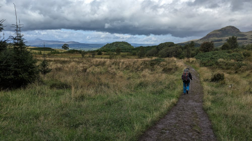
The weather forecast is over 1.5 inches of rain over the next few days, but today we only had a few cloud bursts and some stretches of spotty sun.
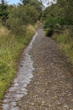
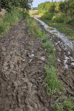
It was an easy 11 miles to Drymen Camping where we set up at around 5pm. Some of the pathway was nice hard-packed gravel, but there were plenty of very muddy sections since it's been raining quite a bit.
We weren't sure where we'd stop today, and were planning to wild camp some place out of the way, but it had started to really rain just as we reached this campground near Drymen and they had one spot left so we took it. Their covered community area with toilets, showers, electric outlets was a nice bonus to the flat, grassy spot for our tent.
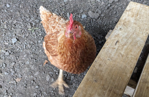
This evening, we spent a few hours chatting with other hikers from Germany, Belgium, and England and that was the highlight of the day. A young lady named Toyah from Belgium and another named Eva from Germany were both solo hiking the trail and we chatted with them a bit. There was also a begging chicken that is used to pecking up bits of food that campers drop, so she kept us company while we made our dinner.
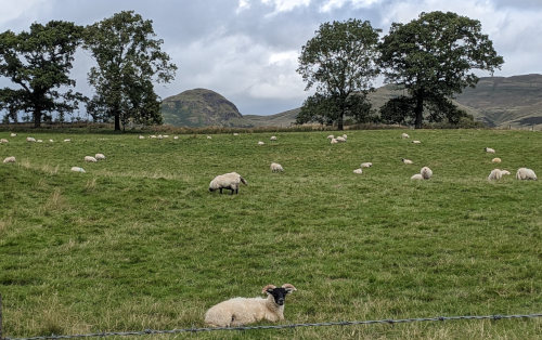
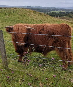
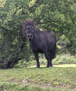
There really wasn't much in the way of sights or scenery - lots of forest, rolling hills, and bigger hills on the distance. A lot of sheep, some cows, and narrow country roads made for a nice walk. We also picked a few blackberries as we walked between fields along an often very muddy trail.
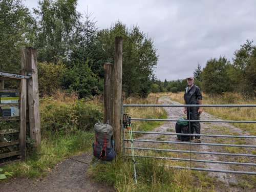
Rain. That's about all there is to say about today. It was raining when we got up and still raining 8 hours later when we reached our refuge for the night. Since we knew it was all rain, we've opted for a dry, warm spot for the night rather than tenting.
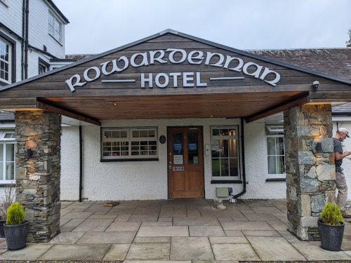
We hiked for 7 hours and covered almost 16 miles to reach the Rorwardennan Hotel.
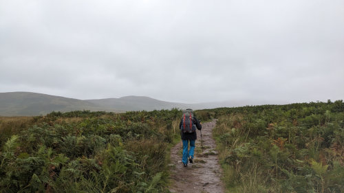
This morning, I noticed half my pack buckle was missing before we left. I searched EVERY place around the campground I had been since we arrived, but no sign of it. After all a 1x1 inch piece of black plastic should be easy to find, right? :-( So, now all the weight is on my shoulders and I can just tie my waist belt so it doesn't flap around.
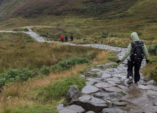
In the morning, we climbed the trail over Conic Hill which has wonderful views - when it's not stuck in a cloud. We did see sheep and heather and got to walk on a brand new rock trail under construction on the hill. It was a lot steeper than it looks and the strong wind and driving rain made for an interesting walk! There is a visitor center at the base of the hill after climbing over it from the south, so we stopped under their dry porch roof for a snack before hiking on.
We found out later that many (most?) hikers took a shortcut route to Balmaha instead of hiking over Conic Hill. The shortcut is shorter, lower, and boring - I'm glad we went over the top.
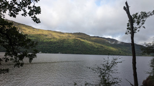
Once over Conic Hill, the trail was fairly flat and mostly followed a road along the east shore of Loch Lomond, through forest and by a few beaches and campgrounds. At one point, the trail next to the road was so flooded, we opted to walk in the road, trying to keep in mind the cars coming from the 'wrong' direction for us. Even though we were near the Loch, there were only sporadic views since most of the trail was through dense forest made darker from the thick overcast skies.
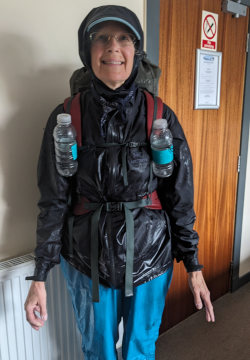
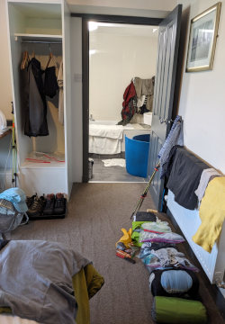
We were quite wet when we reached the hotel, from rain on the outside and perspiration on the inside. I enjoyed a long hot shower and now have clothes hanging all around the room drying overnight. Using a fan and the wall heater did a great job. We had dinner in the nextdoor bar - the steak pie was good.
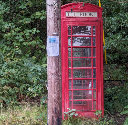
What's this doing out here?
I asked at the front desk of the hotel if they had a 'lost & found' box, hoping there might be an old backpack or buckle that could work to replace mine - no luck.
The Rorwardennan hotel was the best $$$ spent on the trip so far. A great night's sleep while staying warm and dry! It included a wonderful breakfast with yogurt, juices, sausage, bacon, eggs, potatoes, rolls, jams, ... so we didn't really need to eat much more as we hiked all day, starting a little after 8am.
Having Internet all along the trail so far has made modifying plans easier. And, with the rough and changing weather, we've been making changes. For example, the forecast is good today but over an inch of rain tomorrow morning. So, we've decided to hike as far as we can today and stay in our tent tomorrow until the rain lets up (hopefully) and then have a short hike to some paid lodging to dry out again.
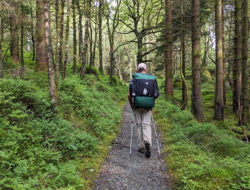
I was expecting the West Highland Way to be more open on highlands than it has been so far. Today's trail all along the east shore of Loch Lomond was pretty much all forest.
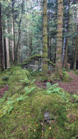
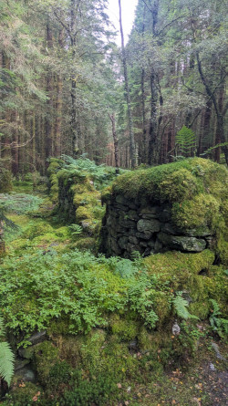
We passed quite a few old ruins, some completely covered in thick blankets of moss, making me wonder who lived here, how long ago, and what they did. The trail in this area was wonderful to walk on - smooth, wide, and gentle.
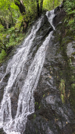
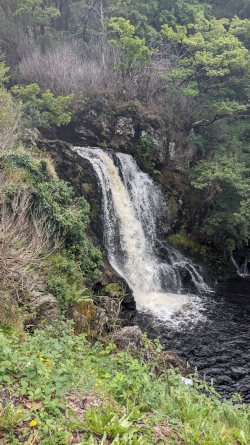
Plenty of scenic little waterfalls along the way and some much larger ones tumbling down the hills on the far side of the lake. Between Rorwardennan and Inversnaid, the West Highland Way offers a 'low route' which stays down by the loch shore, or a 'high route' which follows a dirt road up the hillside and across to join back at the loch shore later. Supposedly, the high route is easier. We took the low route because I didn't want to climb up and down a few hundred feet more than necessary. From my view, the low route was just fine through this section - after Inversnaid is where the trail gets difficult!
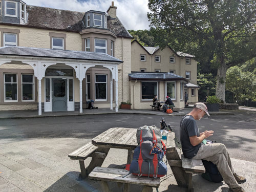
We had a wonderful lunch break outside the Inversnaid Hotel around noon when the sun actually came out enough to cast shadows! The hotel is a beautiful building at the end of the road where Inversnaid Falls tumble into Loch Lomond. The huge outdoor area with picnic tables is a great place for a break.
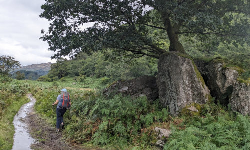
With the loch close and the steep hill rising to the east, the vegetation receives a lot of moisture and cool shade. Moss, ferns, and bushes cover everything. I thought this oak tree growing out of mossy boulders with ferns around captured that. Also, the trail was this muddy much of the time from the past days of rain.
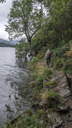
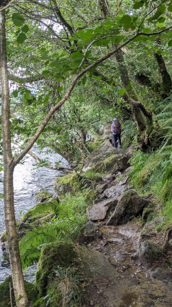
About an hour after we left Inversnaid, the high water level of the loch really crowded the path, and some sections of trail were extremely rocky and slow. We did lots of scrambling over big rocks and ducking under brush and brances, rather than walking. At one spot, I had to take my pack off to fit between a large rock and a tree.
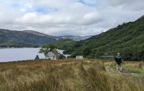
We encountered the remains of more old structures. We encountered similar ruins all along the trail and visible out across the open areas. I've not received definitive confirmation from my inquiries to the trail association and other local organizations, but I expect many of them are results of the Highland Clearances. Of course, that's just my guess.
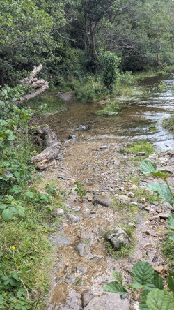
The water level was so high, it covered the trail.
We met some local guys outside a bothy and chatted a bit. A bothy is a shelter building that anyone can freely use. We took a look inside and decided we'd have to be pretty desperate for shelter to stay in one, at least this one, but it would be better than being stuck out in a storm.
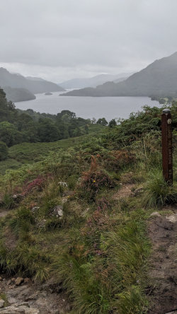
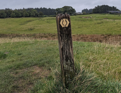
There is a small hill to climb over at the north end of Loch Lomond. From there, it's interesting to look back to see how far you walked along the lake. There is also an interesting trail marker at this point with text on it - 'Dario Melaragni 63-09'. Doing a little research, I found this is a memorial to a man who organized the West Highland Way race for eight years and died in 2009. See this page and this page.
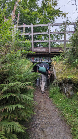
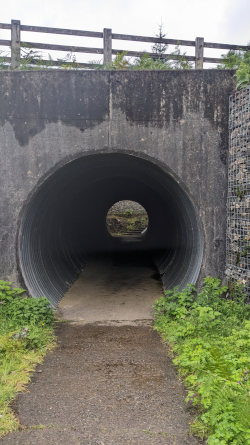
After a quick stop at the very popular Bienglas campground where most of the folks we met today stopped, and the drizzling rain caught up to us again, we finally got out of the woods and had a couple hours hiking across open spaces with on and off rain spitting. We squeezed through two hobbit tunnels under the railroad track and the roadway for extra fun. They are also refered to as 'sheep creeps' since they are intended for sheep to creep safely under the roadways, but not for 6-foot humans.
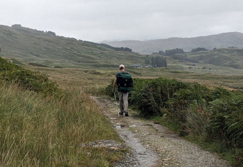
We finally stopped to set up our tent at about 6:15 p.m. on a fairly flat but very soggy spot on a hillside covered in grazing sheep. If we had been more aware of the area, we could have hiked another hour and dropped off the trail to reach the village of Crianlarich and probably found a hotel for the night.
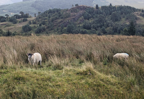
We read that midges are a nuisance on the WHW but we've been insect-free until this afternoon. They are swarming around this evening and it started raining just as we got the tent up, so we're skipping any cooking and just having a snack supper. We'll probably be here for about 16 hours if the rain stops as forecast.
I asked about gear left behind at Bienglas campground - no luck.
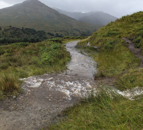
We woke (after fitful sleep) to heavy rain and strong wind. It actually was just more of the same from all night long, so we stuck with our plan for the day of waiting out the deluge. As the wind gusts grew stronger while we were waiting/dozing this morning, a tent stake worked its way out of the saturated gravel - that was an exciting, wet couple of minutes to get it fixed.
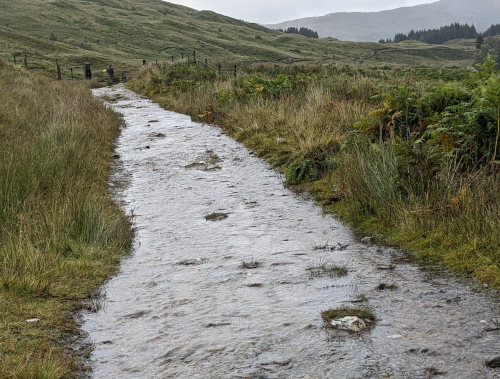
Things calmed down around noon, so we decided to have a go at hiking again. Since we were right by the trail, we had heard many hikers passing throughout the morning. I bet they were wondering why this tent was still up at this time of day. Our plan to wait for the rain to let up and only hike seven miles today probably didn't really gain us much since every tiny stream was now a raging flow, and the road/trail itself seemed to often be the favorite path for the water to take. Where it wasn't flowing water, the trail was often mud.
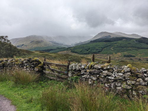
After leaving the sheep pasture area we had camped in, the trail took us over a hill and through a clearcut forest and then down into the shallow valley to travel through miles of flat farmland. It was easy walking and there were more old ruins.
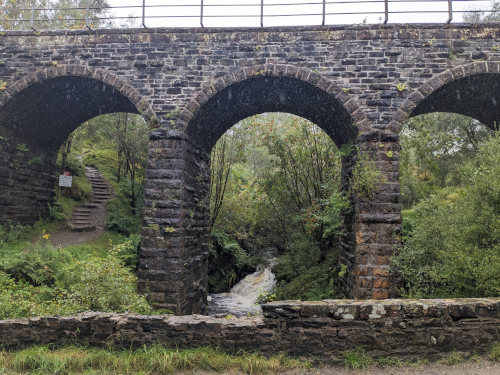
We continue to be impressed by all the structures made of rock along the way.
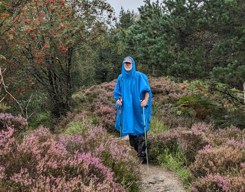
Nearing the village of Tyndrum, where we'd be staying, the trail took us past an area described by a plaque as possibly the location of Robert the Bruce's big defeat in 1306, and a plaque proposing that the heavy swords of his army may have been tossed in a nearby pond during their retreat. The story of Robert the Bruce and his role in Scotland's history is quite interesting. Now, the area is a beautiful forest with large swaths of heather along the path.
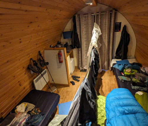
At the Tyndrum Holiday Park, I looked in their little camp store for a buckle, and asked about gear left behind - no luck. We washed clothes and took really hot showers. Then, a short walk to the closest restaurant, the Real Food Cafe, for an 'ok' meal and we were back in our little hobbit home drying gear and looking forward to a longer, rainy hike tomorrow.
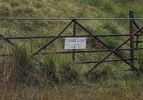
You've got to find the humor in things. :-)
Kelly really dislikes being wet and cold. On the other hand, I enjoy cooler temps and don't mind hiking with wet feet - to a point. So, after tenting every rainy night on the Kungsleden trail in Sweden and having more rain in Scotland, her idea for the rest of West Highland Way of paying for dry, warm lodging every other night is working well. She's doing all the work of finding a place a couple days ahead and we've been able to get a spot every place we want so far.
We are timing our hiking hours to avoid the worst of the rain, according to the online weather forecasts. We have three days left to hike and two of the days seem like they may be sunny(ish).
This morning, we were on trail by 7:30 a.m. because the morning weather prediction looked dry. Actually, we weren't 'on trail' officially because we skipped about a half mile of the official trail. Instead of hiking back over the river to walk the trail through the woods to the other side of Tyndrum, we walked the sidewalk through town and met the trail by the Green Welly Stop. (They had backpacks, but not just buckles.)
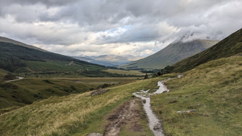
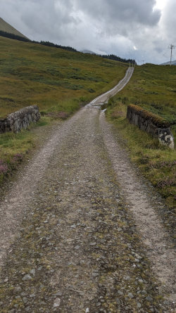
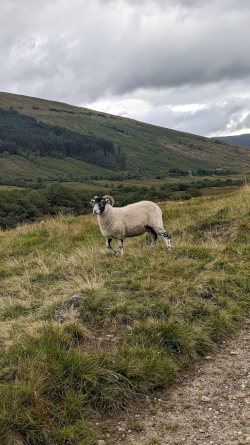
The trail from Tyndrum to The Bridge of Orchy was the easiest yet! We walked the 7 miles in about 2.5 hours. The trail wasn't as rocky or muddy or blocked by puddles as on previous days. Things were still wet but the only thing slowing us down were the sheep posing for photos along the trail. I finally had to say, 'No more sheep photos!'
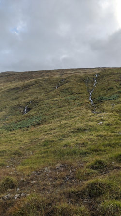
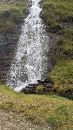
With all the rain, there were plenty of waterfalls tumbling down the hillsides.
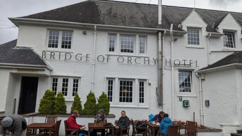
We stopped for a scone with cream and jelly, and something hot to drink at The Bridge of Orchy hotel and enjoyed relaxing and visiting with fellow hikers for over an hour.
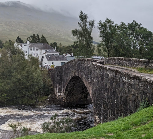
Then we crossed the actual Bridge of Orchy and headed out on the last couple of miles, up and over a hill and down again into the tiny village of Inveroran. We arrived by about 12:30.
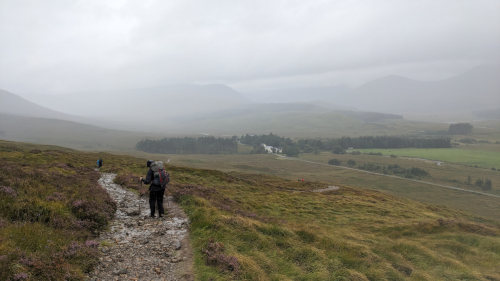
It rained during this part of the hike, but not too hard. The hill climb felt easier than we thought it would. All of the daily climbs, with our packs, on the local ski hill really helped our endurance!
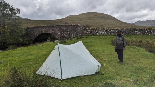
The Inveroran Inn was full, so we wild camped just down the road and returned to the Inn for a nice dinner later in the evening. We found a great spot near the river to set up our tent, and the midges loved it also!
Even though we were trying to quickly set up our tent in the drizzling rain, we dug through our packs to don our bug suits! Once the tent was set up, we walked up to the hotel's convenience shop to have a coke and hang out.
Then back to the tent to get unpacked. At about 4 pm we put on our 'nice' clothes and went to the Inn's bar to hang out until our 6:15 reservation. Luckily, we were offered an early table which we eagerly accepted.
We had lamb and snapper which were amazing - beautiful and delicious! We got to chat with the owner, and the staff were very friendly and helpful. While we were eating, the rain hammered down outside, but we hiked back to our tent during a lull and got inside before it started up again. When we arrived, ours was the only tent, but now there are at least eight tents around the bridge. We'll have a rainy (but short) day of hiking tomorrow.
At 9pm, just before going to sleep, we went out for a little walk. There were four large deer, two with massive antler racks, casually grazing on the grass between all the tents. These were the only wild mammals we saw on the trip.
Google has a pretty weird satellite image of this part of the trail. There is a jet airplane flying over Auch HERE.
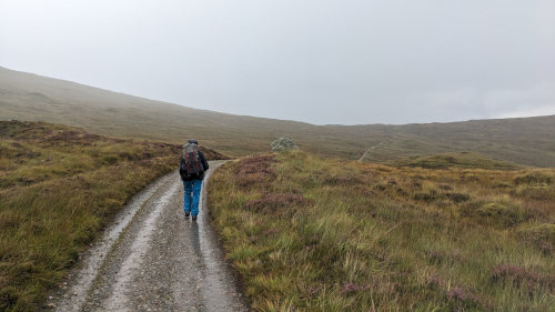
There was a lull in the rain when we woke up at 6:30 so we took advantage of it by packing up and started hiking a bit after 7:00. The rain started up again right away but at least the tent and gear was all relatively dry in my pack.
The forecast has more rain all day and tapering off this evening to make way for three nice days. So, the plan is to hike a short 8.5 miles to the Glencoe Mountain ski resort where Kelly was able to find a 'camping pod' for the night. Then, we'll have three days of longer hikes with nice weather and camping.
Today's walk was probably 50/50 rain for the 3.5 hours we were on trail. The terrain was open and rolling with hills around. The trail was very easy walking with just the usual flooded spots to navigate. We're following an 'old military road' built in the 1700s by the British government so forces could be deployed more rapidly if there was a Jacobite uprising.
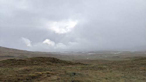
Even though the views were still quite limited, this was what I was expecting when looking forward to a highlands hike. We could see out over the valley at times and we passed through miles of peat bog and heather.
The Scottish government has some big peatland restoration projects under way to restore some of the drained or over grazed peat areas. This is important because the peat is a huge carbon storage, natural environment, and sponge to help with flood reduction. We hiked through an area where a couple backhoes were working the ground in one of these projects. At first, I thought 'a housing development out here???' but that didn't make sense. Yet another Google search helped me figure it out.
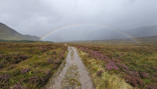
Just as we approached our goal for the day, the sun peeked out and gave us a wonderful rainbow which was my highlight. Since we arrived at our destination before noon, we had another very lazy afternoon, this time sitting in the ski area cafe waiting for our check-in time and ordering lunch. It was nice, but I didn't care for the haggis and venison burger we ordered - no more haggis for me, once was enough.
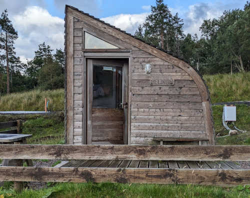
This evening, after nice hot showers, we split one of our trail meals for dinner in our camping pod named 'Meldrum'. I'm getting tired of carrying them, but with meals so easy to just buy along this trail, I guess I'm stuck with them. After dinner, we went back to the cafe to see if anything was going on. We found a couple from Wisconsin that we had met a few days ago. We chatted with them, an Englishman, and an Irishman so it was a great evening.
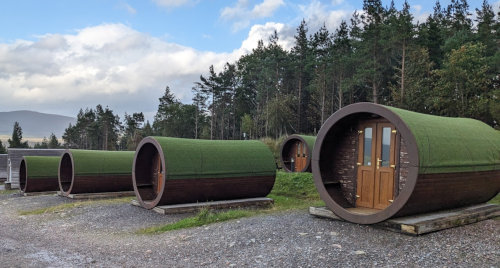
These camping pods come in all shapes and sizes. I've never run into them before, but they are available at many of the campgrounds along the West Highland Way.
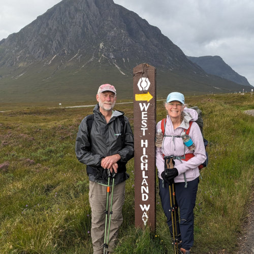
Today's hike of 10 miles from Glencoe Mountain Resort to Kinlochleven gave us many opportunities to enjoy the beauty of the mountains and valleys. The mountains are much more mountainous now than in the southern section of trail.
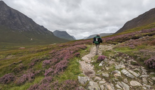
It was a wonderful walk through wide expanses of heather with barren mountains steeply rising on either side.
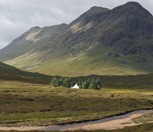
As the morning wore on, the sun FINALLY peeked out and the rain stayed away so that we packed our raingear away.
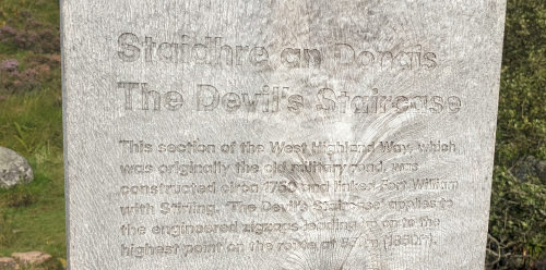
The Devil's Staircase is a long series of switchbacks over a pass from one valley to another, built as a military road. It's amazing the amount of manual effort put into these roads that now make great trails.
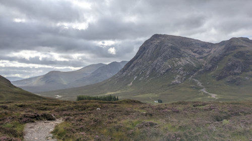
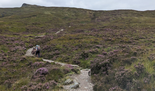
The 800+ foot hike up the staircase to the highest point (1850 feet) on the West Highland Way was much easier than we had anticipated. Our daily training of hill climbing with our packs on prepared us well!
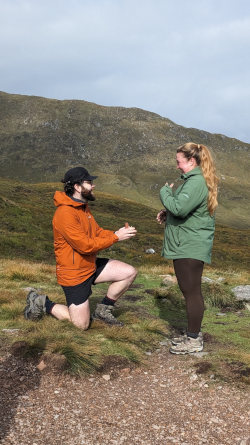
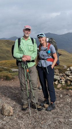
The most beautiful of all the views we had today was meeting Skye and Jack who had just gotten engaged at the top of the Devil's Staircase. We celebrated with them and took some pictures before continuing down the other side of the mountain.
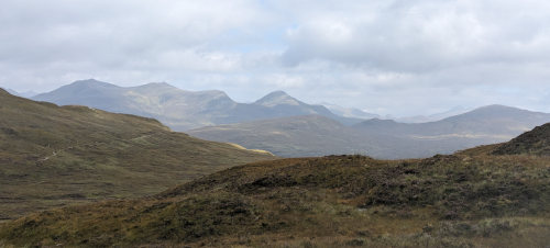
The first couple miles were open with views and a fresh breeze. The last couple miles were less interesting as we followed a dirt road downhill through forest to the town. Overall, today's hike was easy and relaxing.
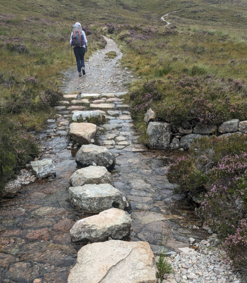
Did I mention how impressive some of the stonework is on this path?
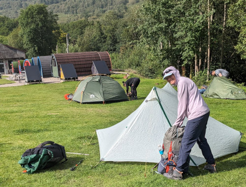
We arrived in Kinlochleven early in the afternoon and bought some lunch food at a small grocery store to enjoy in a nearby park. We walked around the entire town and then returned to Blackwater campground/hostel to use their really nice showers. We've never been this clean on a long distance hike before!
Kinlochleven sits nearly at sea level, but we get to climb 1,100 feet over another pass into another valley tomorrow to reach Fort William on the sea, but it won't be as steep as this morning up the staircase.
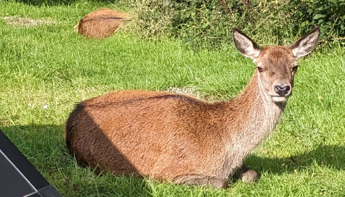
After our late picnic lunch, we weren't hungry enough to make a meal this evening. But, we did eat a caramel brownie dessert that was left in the 'hiker box' here at the hostel/campground. People leave stuff they don't want and it's free to anyone - but no pack buckles.
These two deer couldn't care less about all the people setting up tents in the sunny afternoon.
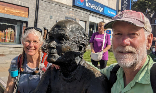
We reached the new end of the West Highland Way at about 2:30 after a wonderful, long hike! I guess you're supposed to take your photo with this scultpure called 'Man With Sore Feet' created by David Annand and installed in 2010, so we did. There is also a sign indicating the end of the trail.
There is an 'original' end of the trail marker about a mile before the new end. It was supposedly moved more to the middle of Fort William because hikers felt the end location was anti-climatic and uninspiring. Now, you get to walk an extra mile on sidewalks past store after store after store in case you are hungry, thirsty, or just want to shop (hmmm, coincidence?). When we reached the new end, it was crowded with people waiting for a bus and we saw no other hiker types. So, I didn't get the whole celebratory accomplishment vibe, but there are interesting buildings to see through town as you plod that last mile on hard cement.
For us in particular, it was a worthwhile extra mile. There was an outdoor store claiming to be the biggest in Scotland, but they had no buckles. A few blocks farther, another outdoor store with no buckles. Then, another couple blocks and there was the Mountain Warehouse which I expected had no buckles, but we stopped in anyway.
They had Buckles!!! I surprised the young man that said, "Sure, we've got those right over here", when I gave an exclamation of "No Way!" I did explain that I hiked over 90 miles to buy one from him for about $7. Now, my pack will be much more comfortable for the rest of our trip.
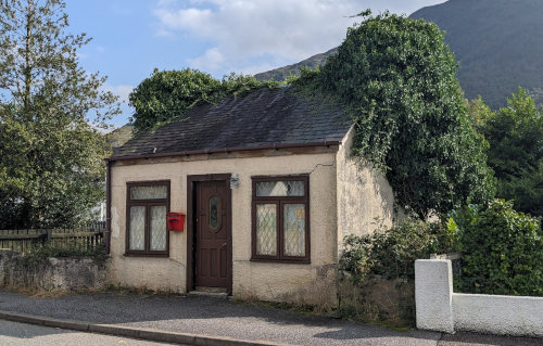
I've always felt that if you're going to have bad weather, it's best to have it at the start of a long hike rather than the end. That way, you really forget how bad it was when you end with nice weather. Today, we woke to blue skies and they stayed all day long! Our day started with a nice stroll through Kinlochleven.
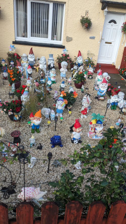
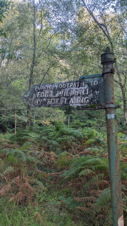
After admiring the cute homes and yards, we found the trail heading out of town and up the hill 1,000 feet to the highlands above town and over to the next valley. It was beautiful weather for our last trail day, clear and sunny, but still cool and breezy.
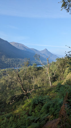
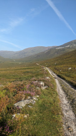
The climb out of town was a great way to warm up in the cool air, and we were soon strolling across open grassland again in a high, shallow valley leading up to the low pass before the descent to Fort William.
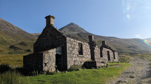
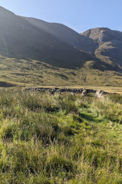
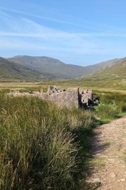
We passed yet more farm ruins from long ago just after cresting the highest point in today's path, standing sentinels slowly crumbling over the years. I imagine this structure at Tigh-na-sleubhaich is in the top 10 for 'most photographed' along the trail.
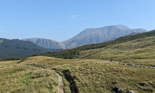
A few miles later, we took a short lunch break on an open hillside with a great view across the valley to another hillside dotted with dozens of sheep and north to a wonderful view of Ben Nevis where we'll hopefully be standing on the summit tomorrow.
After lunch, we passed a rescue team working on an injured hiker right in the trail. At first, I thought they were doing training since so many were standing around seeming to be filling out paperwork. Seems he took a fall and injured his leg. The trail has been rough and rocky in many places so I expect it happens often.
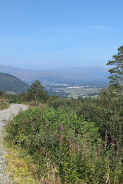
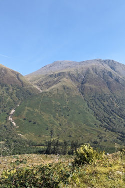
The last five miles of walking was not too exciting. The trail just followed a gravel road through forest down the side of the hill with occasional views ahead to Fort William and across to the trail going up BenNevis. Once we reached the valley floor, it was a sidewalk by a paved road for a couple miles into and through town.
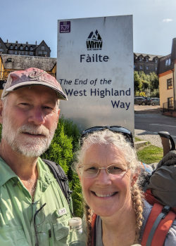
I expect many people stop for the day at the Glen Nevis campground, but we continued on to the end of the trail. After our 2 minute celebration, we visited the West Highland museum (about the area, nothing about the trail), got some food, and then took a bus 2.5 miles back up the trail to the Glen Nevis campground at the base of the Ben Nevis mountain for the night. The campground is huge! Lots of camper vans, motor homes, and tents of all sizes and shapes. The showers were great and Kelly used their laundry to wash and dry some clothes.
Tomorrow, we'll hike 4,400 feet up to the summit (along with 1,000 others since it's a nice weekend).
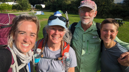
The Highlight of the Day was arriving at our Glen Nevis tenting site to set up our tent and seeing Eva from Germany and Toyah from Belgium right there. We've run into them many days along the trail, always expecting it will be the last time. But, this time it probably will be since they are both leaving in the morning to continue their separate adventures. At least we finally got a photo!
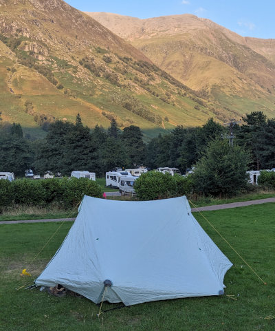
The campground reception folks were very gracious and allowed us to leave our big packs with them while we climbed Ben Nevis. As we walked past the youth hostel just up the road on the way to the Ben Nevis trail, we once again saw our Belgium friend, Toyah, waiting for her taxi. Based on our experience on this hike, I'm pretty sure we'll see her again in the future!
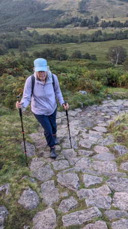
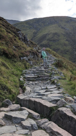
We decided to take the steeper shortcut that leaves right from the campground for the first part of the hike instead of the longer, more gradual trail that starts at the Ben Nevis visitor center. We learned later that the locals call that route 'heart attack hill.' It was steep, but again our hill training paid off. The first part of the trail was made of stacked stones and was amazing. Farther up the trail it was mostly rock and gravel. Sooo much effort has gone into these trails!
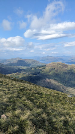
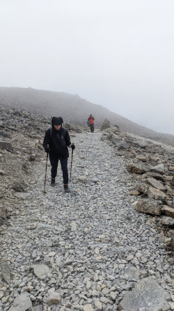
As we gained elevation, we could see far and wide across the valley and over the lower hills to where we had hiked over the days to get here. Clouds began to build on the mountain and they blew around us, sometimes allowing views and sometimes nothing but grey mist.
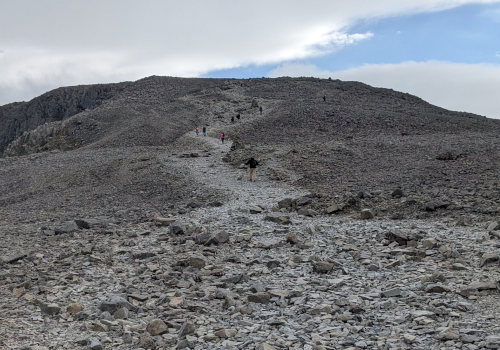
It was very windy and much cooler up on the mountain. There were times when we were hiking straight into the strong wind. It was a challenging hike, and took us over three hours to hike to the top (1,345 meters).
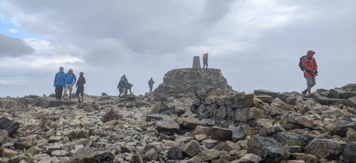
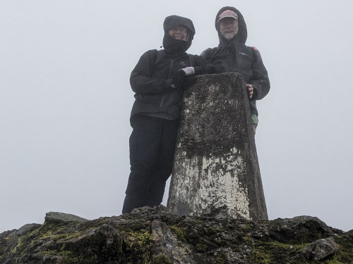
The top of Ben Nevis is a large, fairly flat jumble of rocks with many structures built from them. The main rock platform has a cement marker on top as the high point. With the wind howling, we photographed another hiker in exchange for him taking our picture. There were dozens of other people around, but with nothing to see, we didn't stay long.
Unfortunately, with so many visitors, there was also quite a bit of trash left behind - I was surprised at the number of banana peels. ???
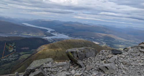
If you click this photo to see the larger view, you can see the little spot of our tent about 3,500 feet below us at the Glen Nevis campground. :=)
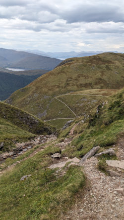
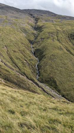
The hike down went well, but seemed to take just as long. We had to be cautious not to slip on the loose gravel and rocks (but we both did), and we took more stops to enjoy the views once we were out of the clouds.
I counted over 500 people on the trail with us today - only those we passed going the other direction so I did not double-count anyone. When we got to the turn off to 'heart attack hill' we met an 84 year old man taking a rest on a bench. We stopped and chatted with him for quite awhile. It was interesting hearing his stories of hiking Ben Nevis and other places around the world.
We retrieved our packs from the campground office, ate dinner at their restaurant, and walked to our B&B for the night. I had been having cold symptoms all day, so I hiked another mile into town and back to get cold medicine and orange juice while Kelly took a shower.

Climbing Ben Nevis was definitely the highlight of our trip so far, for me. It was a long, strenuous hike with every type of weather above freezing and wonderful different climate zones and terrain as we climbed higher and higher.
Our plan was to have a rest day in Scotland and then proceed to Geneva to start our Tour du Mont Blanc trek. Key word there is 'was', but I'll keep you in suspense a bit as we tell you about our 'between hikes' days.
September 2 - Our hosts at the Brevins Guesthouse B&B in Fort William cooked us a delicious breakfast of blueberry pancakes, cream & yogurt, toast and coffee. Our stay at their place was wonderful with comfortable bed, nice shower, and friendly hosts. We then walked to the original WHW endpoint, took a selfie, and headed to the bus stop. It was fun to look out the windows and see some of the WHW trail and the many hikers progressing along the way - I counted over 80 in just a few short sections. While on the bus, we secured tickets for the next bus which would take us the rest of the way into Stirling.
It was another rainy day (of course), so we had a wet walk through town from the bus station. When we showed up at our next B&B, called Castlecroft, we were a bit soggy. We spent some time trying to figure out how to avoid the rain for the next 2 1/2 weeks. As with all of our other hikes, the weather forecast for the Tour du Mont Blanc route will be rainy for the next 10 days, and we are NOT looking forward to yet more rainy days of hiking. Actually, the weather forecast for most of Europe above Spain is pretty poor. With both of us searching the Internet, I finally found that Lisbon, Portugal had great weather, and Portugal had many long hikes. So, we started considering making some dramatic changes but weren't sure what made the most sense yet.
September 3 - After a great rest in a very comfortable bed, our host made us a wonderful breakfast and wished us well as we hiked away from Castlecroft. We enjoyed our overcast but not raining morning exploring Stirling Castle. The weather for the next week in Scotland, now that we're leaving, of course is very nice. :-)
On our train to Edinburgh airport to catch our flight to Geneva, we continued to research and consider options. We could delay our TMB hike a couple days hoping the weather will improve, or we could just plow ahead and hope for the best, or we could call it quits and head home, or we could completely change our destination. It appears that we've come to a decision.
We are flying to Geneva tonight, as planned, and will arrive around midnight. But, then we are flying on to Portugal for about 10 days! It truly will be improvisational hiking! We don't tend to do spur-of-the-moment things like this. Along the Atlantic Coast of Portugal is the Fisherman's Trail which is about the right length at 140 miles. It's pretty flat, so no majestic mountain views, but there are beaches, sunsets, and 75 degree highs. Most importantly, there's absolutlely no rain in the forecast for the next 10 days, but we might change that!
One thing that tipped the scales to Portugal happened in the Edinburgh airport. As we were waiting for our flight to Geneva and contemplating all our choices, a young woman asked to sit by us since the only electric plug was there. I asked her if she had had a long travel day and she had, but it wasn't over. After a stop in Bordeaux, she is flying to Portugal. We figured that was enough of a sign!
September 4 - After a plane delay due to thunderstorms in Geneva (of course) and a midnight walk in drizzling rain along Geneva streets, we finally reached our airport hotel around 1am. We checked the weather one last time and then bought the tickets to Lisbon. So, we're on our way to Portugal and the Fishermen's Trail in a few hours!
A bit more about Castlecroft. Laura is a gracious host who provides everything you could think of! Her B&B is beautiful, the views are amazing, and there are paths that take you right to Stirling Castle and into the town of Stirling. I highly recommend both Castlecroft and Brevins Guesthouse B&Bs as places to stay while you are doing day trip explorations around Scotland.
Back to West Highland Way Info page.
Find more Hiking Resources at www.HikingDude.com


Follow Me
Recent Comments